
Honeymoon Bay Ecological Reserve, ecological reserve in British Columbia, Canada
Location: Cowichan Valley Regional District
GPS coordinates: 48.82917,-124.21250
Latest update: June 7, 2025 10:19
West Coast Trail
49.4 km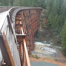
Kinsol Trestle
42.1 km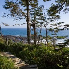
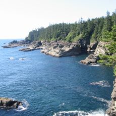
Juan de Fuca Marine Trail
40.2 km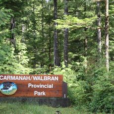
Carmanah Walbran Provincial Park
37.8 km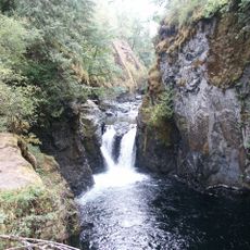
Englishman River Falls Provincial Park
47.6 km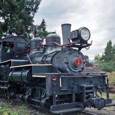
BC Forest Discovery Centre
36.6 km
Juan de Fuca Provincial Park
38.8 km
Saysutshun (Newcastle Island Marine) Provincial Park
45 km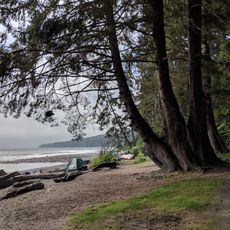
Sombrio Beach
37.3 km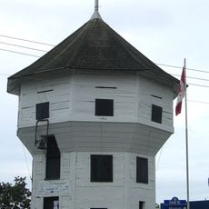
Bastion
42.7 km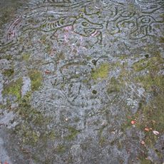
Petroglyph Provincial Park
40.5 km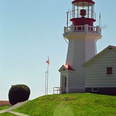
Carmanah Point Light Station
46.4 km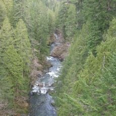
Koksilah River Provincial Park
41 km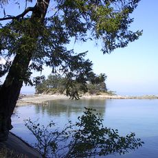
Dionisio Point Provincial Park
51.1 km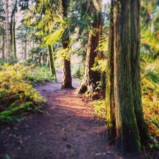
Cable Bay Trail
43.4 km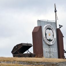
Pirates Cove Marine Provincial Park
46.4 km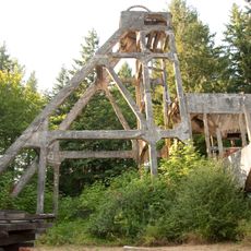
Morden Colliery Historic Provincial Park
39.3 km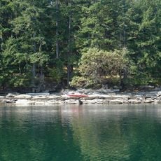
Wakes Cove Provincial Park
49.7 km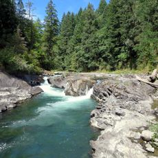
Cowichan River Provincial Park
24.1 km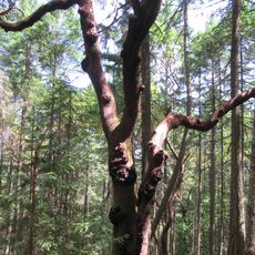
Arbutus Grove Provincial Park
47.1 km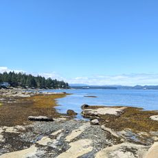
Gabriola Sands Provincial Park
48.1 km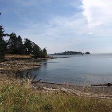
Drumbeg Provincial Park
50.7 km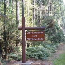
West Shawnigan Lake Provincial Park
46.3 km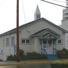
Christian Science Society
42.8 km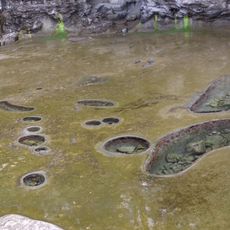
Tide Pools at Botanical Beach
37.9 km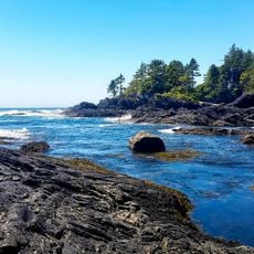
Botanical Beach
37.8 km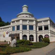
Chemainus Theatre
37.7 km
Yellow Point Bog Ecological Reserve
40 kmReviews
Visited this place? Tap the stars to rate it and share your experience / photos with the community! Try now! You can cancel it anytime.
Discover hidden gems everywhere you go!
From secret cafés to breathtaking viewpoints, skip the crowded tourist spots and find places that match your style. Our app makes it easy with voice search, smart filtering, route optimization, and insider tips from travelers worldwide. Download now for the complete mobile experience.

A unique approach to discovering new places❞
— Le Figaro
All the places worth exploring❞
— France Info
A tailor-made excursion in just a few clicks❞
— 20 Minutes