振兴街道, Straßenviertel in der Volksrepublik China
Location: Xinglongtai District
GPS coordinates: 41.12566,122.07894
Latest update: March 4, 2025 04:17

Yixian Formation
83.6 km
Jehol Biota
47.8 km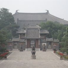
Fengguo Temple
83.9 km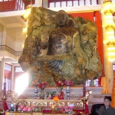
Anshan Jade Buddha
78.3 km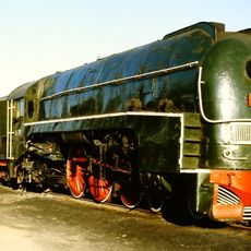
Shenyang Railway Museum
127.9 km
Dongjingcheng City Ruins
97.9 km
Bijia Mountain
91.3 km
Jinniushan man
67.3 km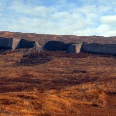
Yanzhou Village
119.7 km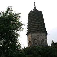
White Pagoda
92.8 km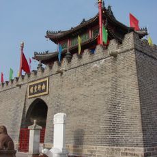
Drum Tower
57.6 km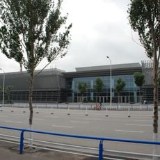
China Industrial Museum
131.1 km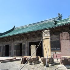
Beizhen Temple
58.8 km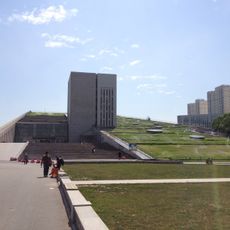
Shenyang Library
133.1 km
沈阳市第四中学
128.9 km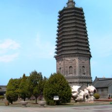
Guangji Temple
80.5 km
Nü'er He
76.9 km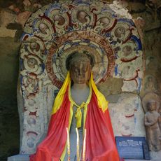
Wanfotang Grottoes
91.8 km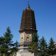
Pagoda of Chongxing Temple
58.3 km
Pu He
62.8 km
Shenyang Tiexi Stadium
128.5 km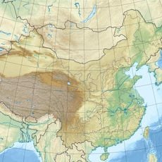
Hongluoshan Shuiku
112.4 km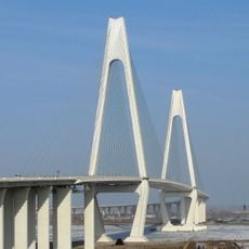
Liaohe Bridge
48.8 km
Xingcheng Haibin National Park
116.6 km
Youlin reservoir
101 km
Sha He
88.2 km
Liaoning Provincial Museum
130.7 km
Goethe-Sprachlernzentrum, Shenyang
132.3 kmReviews
Visited this place? Tap the stars to rate it and share your experience / photos with the community! Try now! You can cancel it anytime.
Discover hidden gems everywhere you go!
From secret cafés to breathtaking viewpoints, skip the crowded tourist spots and find places that match your style. Our app makes it easy with voice search, smart filtering, route optimization, and insider tips from travelers worldwide. Download now for the complete mobile experience.

A unique approach to discovering new places❞
— Le Figaro
All the places worth exploring❞
— France Info
A tailor-made excursion in just a few clicks❞
— 20 Minutes