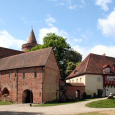
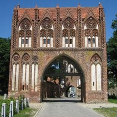
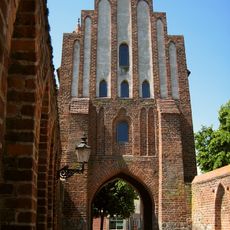
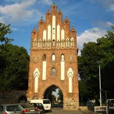
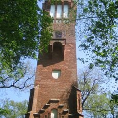
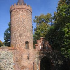
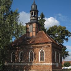
Amt Stargarder Land, modern parish
Location: Mecklenburgische Seenplatte District
Inception: January 1, 2002
Website: http://stargarder-land.de
GPS coordinates: 53.48330,13.40000
Latest update: March 11, 2025 21:49
Stargard Castle
6.4 km
Marienkirche
12.3 km
Haus der Kultur und Bildung
12.4 km
Belvedere
13 km
City walls of Neubrandenburg
12.3 km
Treptower Tor
12.6 km
Stargarder Tor
12.1 km
Friedländer Tor
12.3 km
Jahnsportforum
12 km
Neues Tor
12 km
Jahnstadion
11.8 km
Behmshöhe Observation tower
11.5 km
Schauspielhaus Neubrandenburg
12.1 km
Neubrandenburg Regional Museum
12.7 km
Stadthalle Neubrandenburg
12.1 km
St. Johanneskirche
12.5 km
St. Josef – St. Lukas
11.4 km
Franziskanerkloster
12.6 km
Kulturpark Neubrandenburg
12.2 km
Fangelturm
12.6 km
Kunstsammlung Neubrandenburg
12.4 km
Vierrademühle
12.7 km
Latücht
12 km
Landessozialgericht Mecklenburg-Vorpommern
12.8 km
St. Georg
13.1 km
Karl-Marx-Denkmal
11.9 km
Brigitte-Reimann-Literaturhaus
11.8 km
Marie-Hager-Haus
5.3 kmReviews
Visited this place? Tap the stars to rate it and share your experience / photos with the community! Try now! You can cancel it anytime.
Discover hidden gems everywhere you go!
From secret cafés to breathtaking viewpoints, skip the crowded tourist spots and find places that match your style. Our app makes it easy with voice search, smart filtering, route optimization, and insider tips from travelers worldwide. Download now for the complete mobile experience.
A unique approach to discovering new places❞
— Le Figaro
All the places worth exploring❞
— France Info
A tailor-made excursion in just a few clicks❞
— 20 Minutes