Enable Location

We need your location to show you interesting places around you

Discover nearby places

Find interesting locations and hidden gems around you

Precise directions

Get accurate directions and distances to places

Your location is never shared with other users. It's only used when you tap the location button.

Osterode am Harz

Log in to your account

Start exploring — it's free

Trusted by 61,365 travelers worldwide

Continue with Google
Continue with Apple
or

We will send you a code to connect

By continuing, you accept our Terms and Conditions and our Privacy Policy

Check your inbox

We've sent a pincode in your inbox. Please enter the code below.

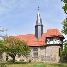
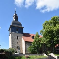
Osterode am Harz, Medieval Hanseatic city in Lower Saxony, Germany

Description

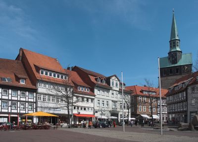
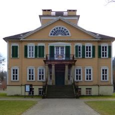
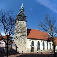
Osterode am Harz is a town in the Göttingen district of Lower Saxony, positioned partly at the southwestern edge of the Harz range with the Söse River running through it. The town center shows several streets lined with historic half-timbered buildings, while the Kornmarkt serves as the main square surrounded by public structures.

History

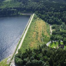
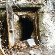
The settlement received its town charter during the 13th century and later developed into a mining center for silver and copper in the region. Joining the Hanseatic League promoted trade and connected the town with other merchant centers across northern Germany.

Culture

The name reflects the location at the eastern edge of the Harz range, while the old town today shows timber buildings from different centuries common to this part of Lower Saxony. Visitors notice the exposed wooden beams and decorated panels that define the streetscape and mark this as a stop along the German Timber-Frame Road.

Practical

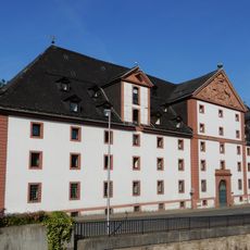
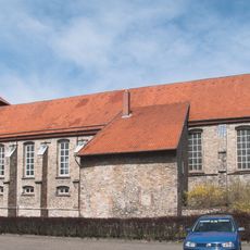
The Kornmarkt offers a starting point for exploring the town center and is surrounded by shops and cafes reachable within a few minutes on foot. The Ritterhaus museum complex stands near the center and offers insight into local town history without long walks.

Did you know?

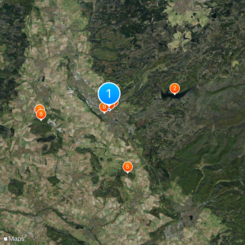
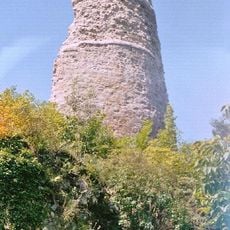
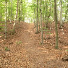
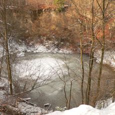
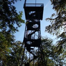
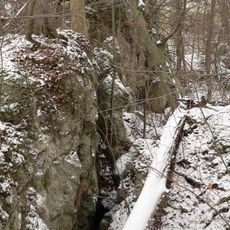
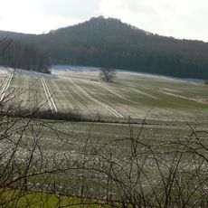
Three long-distance hiking routes start directly in town and lead walkers through different parts of the Harz, making this a junction for long-distance hikers. The Harzer-Hexen-Stieg, Harzer BaudenSteig, and Harzer Försterstieg can each be tackled in multi-day stages from here.

Elevation above the sea
220 m
GPS coordinates
51.72861,10.25222
Latest update
December 14, 2025 17:35

AroundUs brings together thousands of curated places, local tips, and hidden gems, enriched daily by 60,000 contributors worldwide. Discover all places nearby (Göttingen district).

« Osterode am Harz - Medieval Hanseatic city in Lower Saxony, Germany » is provided by Around Us (aroundus.com). Images and texts are derived from Wikimedia project under a Creative Commons license. You are allowed to copy, distribute, and modify copies of this page, under the conditions set by the license, as long as this note is clearly visible.

Discover hidden gems everywhere you go!

From secret cafés to breathtaking viewpoints, skip the crowded tourist spots and find places that match your style. Our app makes it easy with voice search, smart filtering, route optimization, and insider tips from travelers worldwide. Download now for the complete mobile experience.

Around Us App Screenshot

A unique approach to discovering new places

Le Figaro

All the places worth exploring

France Info

A tailor-made excursion in just a few clicks

20 Minutes

Around Us
Travel Guide & Maps
Download

Send to your phone

QR Code
1

Open the camera app on your mobile.

2

Point at the QR code with your camera. A notification will appear.

3

Tap the notification to open the link.