Trier-Süd, human settlement in Germany
Location: Trier
Elevation above the sea: 135 m
GPS coordinates: 49.74580,6.63222
Latest update: March 13, 2025 07:01
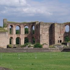
Trier Imperial Baths
840 m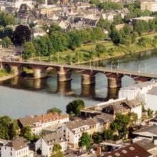
Roman Bridge
787 m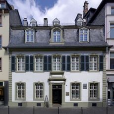
Karl-Marx-House museum
932 m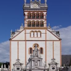
St. Matthias' Abbey
873 m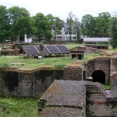
Barbara Baths
488 m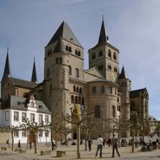
Roman Monuments, Cathedral of St. Peter and Church of Our Lady in Trier UNESCO World Heritage Site
471 m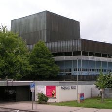
Theater Trier
735 m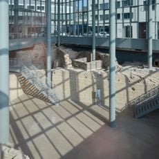
Forum baths
862 m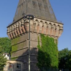
Hochbunker
626 m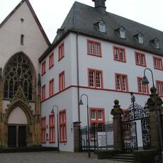
Jesuitenkirche
1 km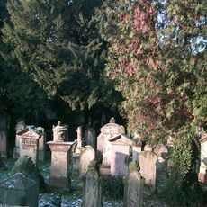
Jewish Cemetery in Trier
905 m
Tempelbezirk im Altbachtal
711 m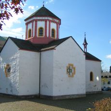
Heiligkreuzkapelle
780 m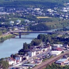
Konrad-Adenauer-Brücke
813 m
Bischöfliches Priesterseminar zu Trier
1 km
Neustraße
727 m
St. Antonius
850 m
Tuchfabrik Trier
819 m
Municipal Library Trier
908 m
Agnetenkloster
815 m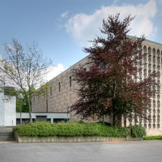
Heilig-Kreuz-Kirche (Trier)
817 m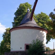
Zollkran
953 m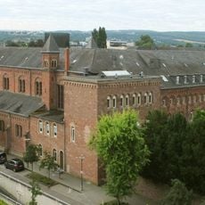
Redemptoristenkloster Sankt Josef
923 m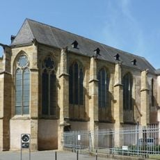
Augustinerkirche St. Katharina (Trier)
745 m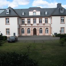
Margarethenhof
805 m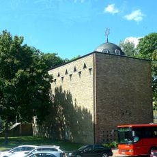
Synagoge
580 m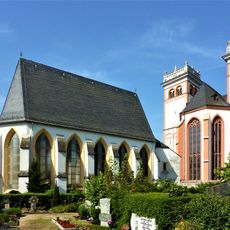
Marienkapelle
870 m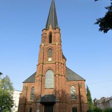
Herz-Jesu-Kirche in Trier
240 mVisited this place? Tap the stars to rate it and share your experience / photos with the community! Try now! You can cancel it anytime.
Discover hidden gems everywhere you go!
From secret cafés to breathtaking viewpoints, skip the crowded tourist spots and find places that match your style. Our app makes it easy with voice search, smart filtering, route optimization, and insider tips from travelers worldwide. Download now for the complete mobile experience.

A unique approach to discovering new places❞
— Le Figaro
All the places worth exploring❞
— France Info
A tailor-made excursion in just a few clicks❞
— 20 Minutes