Wietkikenberg, Mountain summit in Brandenburg, Germany
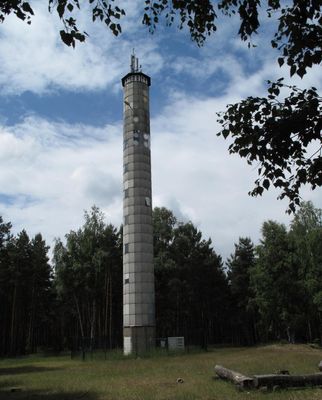
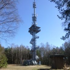
Wietkikenberg is a hill in the Zauche region between Ferch village and Lienewitz railway station, rising approximately 125 meters above sea level. A concrete tower with an observation platform at 22 meters height sits on the summit, serving both radio transmission and forest fire monitoring purposes.
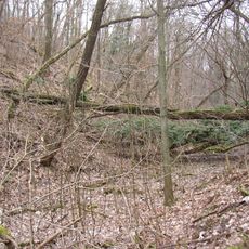
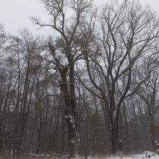
The hill formed approximately 20,000 years ago during the last ice age as part of a glacial moraine landscape. This geological origin marks it as a remnant of the region's ice age history.
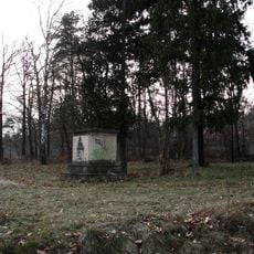
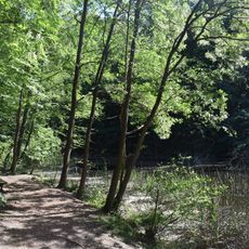
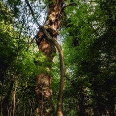
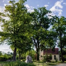
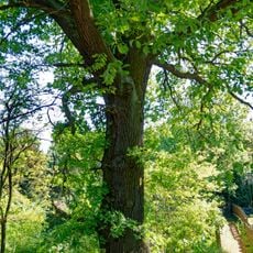
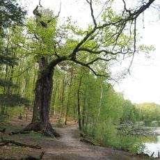
The site reflects local forestry traditions and how people have shaped the landscape over time through deliberate choices. The mixed woodlands on the slopes show a long relationship between residents and the natural environment.
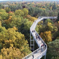
The climb involves 113 metal steps leading to the platform, from where Potsdam, Berlin TV Tower, and Kloster Lehnin are visible. Visitors should be prepared for stairs and wear sturdy shoes to reach the top safely.
The concrete tower completed in 2015 combines radio transmission with forest fire detection cameras in a single structure. This dual-purpose design reflects how modern technology serves both communication and environmental monitoring needs.
Location: Brandenburg
Elevation above the sea: 124.7 m
Accessibility: Wheelchair inaccessible
GPS coordinates: 52.30752,12.95000
Latest update: December 12, 2025 14:26
Baumkronenpfad Beelitz-Heilstätten
5.3 km
Glindower Alpen
5.2 km
Anstaltskirche
5.4 km
Glindow Brickworks Museum
5.5 km
Baumgartenbrücke
5.8 km
Petzow village church
4.3 km
Village church Caputh
5.7 km
Dorfkirche Michendorf
5.2 km
Lienewitz
1.7 km
Lienewitz-Caputher Seen- und Feuchtgebietskette
3 km
Seddin church
5.7 km
War memorial Kammerode
3.9 km
Haussee
4 km
Kunersdorf Försterei
5 km
Kemnitzer Heide
2.9 km
Petzow Castle
4.4 km
Aussichtsturm Wietkiekenberg
10 m
Potsdamer Havelseengebiet und Potsdamer Wald- und Havelseengebiet
5.1 km
Ferch church
1.5 km
Beelitz-Heilstätten Hospital
5.2 km
Naturdenkmal Eichen fast unmittelbar nördlich des Großen Lienewitzsee (am Badestrand) in Michendorf
2.6 km
Glindower Alpen
5.1 km
Logierhaus, Schloss Caputh
5.7 km
Naturdenkmal Eichen nördlich Seddiner See an Heimkreisvolkshochschule (ehem. Revierförsterei), östlich Straßenabzweig B2 nach Ferch in Neuseddin
5.1 km
Naturdenkmal Baumbestand Kirchhof Kirchhof Seddin in Seddin
5.7 km
Quercus robur in Ferch, near Dorftstr. 6a
1.3 km
Naturdenkmal Eiche Westufer Kleiner Lienewitzsee in Michendorf
1.4 km
ND 656-11 Lindentor Petzow
4 kmVisited this place? Tap the stars to rate it and share your experience / photos with the community! Try now! You can cancel it anytime.
Discover hidden gems everywhere you go!
From secret cafés to breathtaking viewpoints, skip the crowded tourist spots and find places that match your style. Our app makes it easy with voice search, smart filtering, route optimization, and insider tips from travelers worldwide. Download now for the complete mobile experience.
A unique approach to discovering new places❞
— Le Figaro
All the places worth exploring❞
— France Info
A tailor-made excursion in just a few clicks❞
— 20 Minutes