Großer Rauhenkopf, Mountain summit in Bavaria, Germany
Description
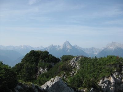
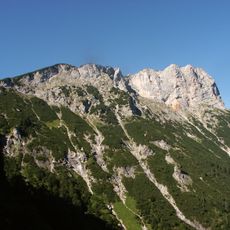
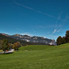
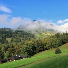
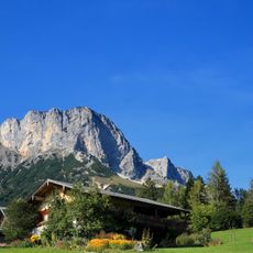
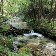
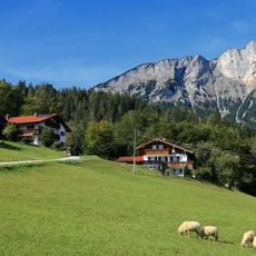
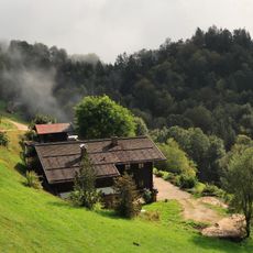
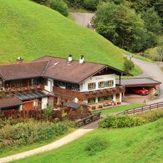
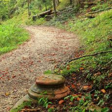
Großer Rauhenkopf is a mountain summit in the Alps reaching about 1,600 meters and offers several well-marked hiking trails through varying landscapes. The routes pass through alpine meadows and forests that change appearance with the seasons.
History
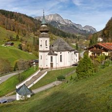
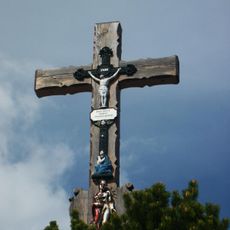
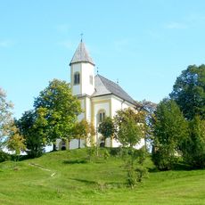
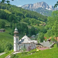
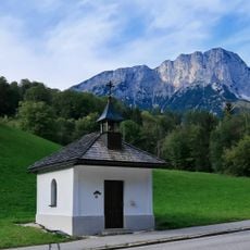
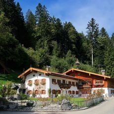
The mountain served as a landmark for settlers in the Berchtesgaden region from medieval times, helping them navigate the rocky landscape. It became a recognizable feature of these older mountain communities and their relationship with the Alpine region.
Culture
Local hiking groups regularly use the established routes and meet for group outings throughout the year. The mountain has long been part of the regional identity and is cherished by walkers from surrounding communities.
Practical
Hikers can start from several trailheads, each with nearby parking areas for convenience. Good hiking boots and weather-resistant clothing are essential, as conditions in higher elevations can change rapidly.
Did you know?
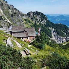
A satellite navigation station operates at the summit as part of Europe's Galileo system, helping with mapping and positioning technology. This technical installation is visible to visitors exploring the peak.
AroundUs brings together thousands of curated places, local tips, and hidden gems, enriched daily by 60,000 contributors worldwide. Discover all places nearby (Bavaria).
Riesending cave
3.2 km
Almbachklamm
3.1 km
Berchtesgadener Hochthron
2.8 km
Wallfahrtskirche Maria Gern
2.6 km
Kneifelspitze
3.3 km
Wallfahrtskirche Mariä Heimsuchung
3.7 km
Theresienklause
2 km
Sulzer Wasserfall
2.9 km
Saalkirche
3.2 km
Katholische Filialkirche St. Johann Nepomuk
1.8 km
Katholische Pfarrkirche Herz Jesu
2.3 km
Katholische Wallfahrtskirche Maria Gern
2.7 km
LSG Untersberg mit Randgebieten, Gemeinde Bischofswiesen, Markt Berchtesgaden und Markt Marktschellenberg sowie das gemeindefreie Gebiet Schellenberger Forst
1.7 km
Hofkapelle, sogenannte Hirnsbergkapelle
3.3 km
LSG Rostwald/Stanggaß
3.5 km
Fluchthäusl
2.7 km
Schusterlehen, Zwiehof
2.8 km
Untersberg
2 km
Untersberglehen
1.6 km
Burgstall Kopf
3.5 km
Erbmühle
2.1 km
Hofkapelle
2 km
Obersommerau-Lehen
1.2 km
Kneifllehen, Bauernhaus
3.4 km
Fendtleiten-Lehen
2.5 km
Kriegerdenkmal zur Erinnerung an die Gefallenen des Ersten Weltkriegs
2.3 km
Sogenanntes Saghäusl
2.2 km
Sogenannte Wassersäule
2.8 kmDiscover hidden gems everywhere you go!
From secret cafés to breathtaking viewpoints, skip the crowded tourist spots and find places that match your style. Our app makes it easy with voice search, smart filtering, route optimization, and insider tips from travelers worldwide. Download now for the complete mobile experience.
A unique approach to discovering new places❞
— Le Figaro
All the places worth exploring❞
— France Info
A tailor-made excursion in just a few clicks❞
— 20 Minutes