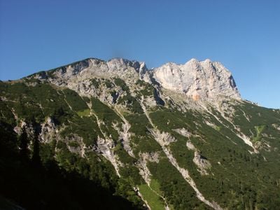
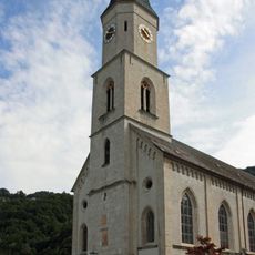
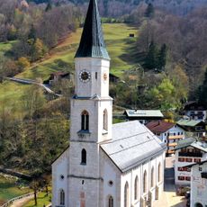
Berchtesgadener Hochthron, Alpine summit in Berchtesgaden, Germany
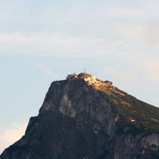
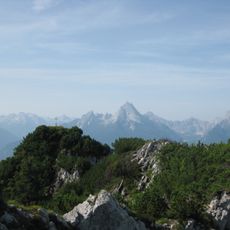
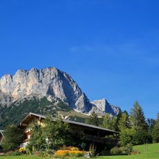
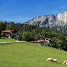
Berchtesgadener Hochthron is an alpine summit reaching about 1,970 meters (6,460 feet), defined by steep cliffs that rise on its eastern and southern exposures. It forms part of the Untersberg massif, displaying distinctive rock formations that shape the regional landscape.
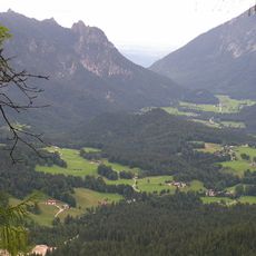
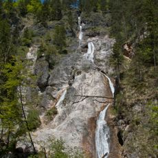
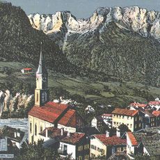
This peak served as a crucial navigation marker for medieval travelers crossing the Berchtesgaden Alps through established trade routes. Its role as a landmark in this important passage shaped how the region developed and was connected to broader mountain routes.
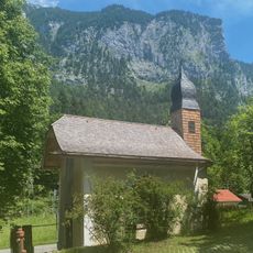
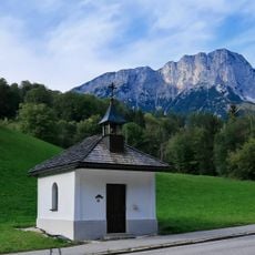
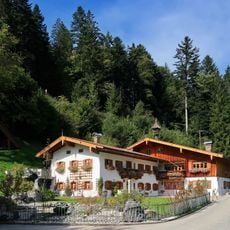
The name reflects the connection to local mountain climbers who have shaped this place for generations, and the traditions they continue to follow. The Stöhrhaus hut sits as a gathering point for hikers, representing how mountaineering culture remains part of daily alpine life in this region.
Multiple marked trails access the summit from Berchtesgaden town, with a T2-classified route offering the most direct approach for mountain hikers. Plan your timing to complete the climb and descent while daylight remains available.
One of six ground stations for testing Galileo navigation satellites operates on this mountain, making it part of European space research infrastructure. Few visitors realize they stand at a location contributing to the technology that powers modern satellite positioning systems.
The community of curious travelers
AroundUs brings together thousands of curated places, local tips, and hidden gems, enriched daily by 60,000 contributors worldwide.