
Ölbachtal, nature reserve in Schloß Holte-Stukenbrock, North Rhine-Westphalia, Germany
Location: Schloß Holte-Stukenbrock
Inception: 1990
GPS coordinates: 51.91056,8.69083
Latest update: March 28, 2025 12:47

Safariland Stukenbrock
2.7 km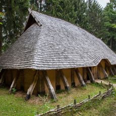
Archäologisches Freilichtmuseum Oerlinghausen
4.8 km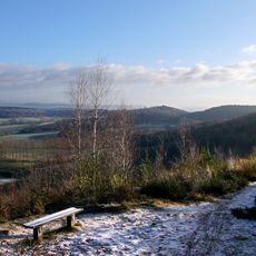
Tönsberg
4.5 km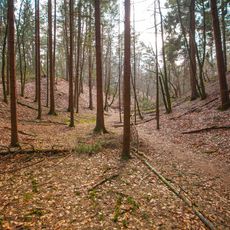
Dörenpass
5.4 km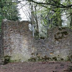
Hünenkapelle
4.1 km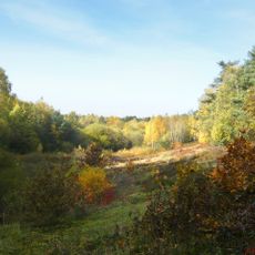
Ölbachtal mit Augustdorfer Dünenfeld
967 m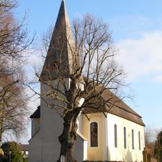
Kirche Stapelage
5.2 km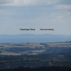
Hermannsberg
4 km
Bauernburg Stapelage
5.3 km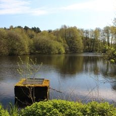
Kipshagener Teiche
4.1 km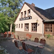
Bienenschmidt
4.1 km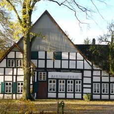
Bartholdskrug
5.4 km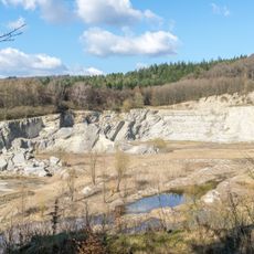
Steinbruch am Barkhauser Berg
4.5 km
Maria Königin des Friedens
5.1 km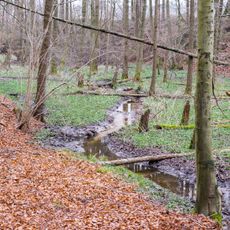
Wehrbachtal
2.9 km
St. Achatius
4.5 km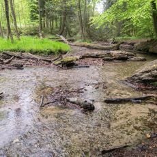
Menkhauser Bachtal mit Schopketal
5.4 km
Robert-Koch-Straße 17
5.5 km
Robert-Koch-Straße 19
5.5 km
St. Johannes Baptist
2.4 km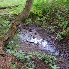
Quellbereiche und Quellbäche am Lohweg
5.5 km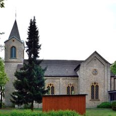
Evangelische Kirche
3.6 km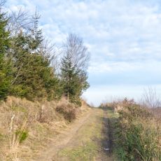
Tönsberg
4.3 km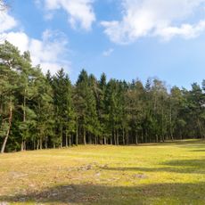
Trockentäler, Kastentäler und Dünen des oberen Westerholter Baches
2 km
LSG-Stuckenbrocker Lehmplatten, Holter Wald und obere Senne und Neuenkirchener Sandebene
3.3 km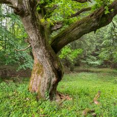
LSG-Teutoburger Wald mit Lippischem Wald, Osning Kamm und oestlichem Osning-Vorland
3.6 km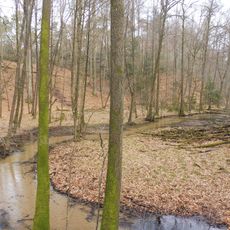
Schluchten und Moore am oberem Furlbach
3 km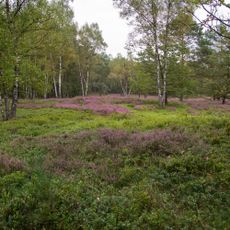
Schluchten und Moore am oberem Furlbach
2.4 kmReviews
Visited this place? Tap the stars to rate it and share your experience / photos with the community! Try now! You can cancel it anytime.
Discover hidden gems everywhere you go!
From secret cafés to breathtaking viewpoints, skip the crowded tourist spots and find places that match your style. Our app makes it easy with voice search, smart filtering, route optimization, and insider tips from travelers worldwide. Download now for the complete mobile experience.

A unique approach to discovering new places❞
— Le Figaro
All the places worth exploring❞
— France Info
A tailor-made excursion in just a few clicks❞
— 20 Minutes