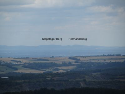
Hermannsberg, Mountain summit in Lage, Germany
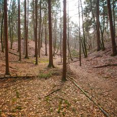
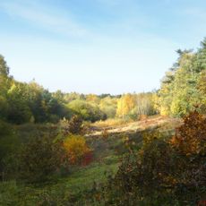
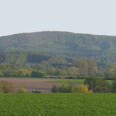
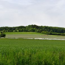
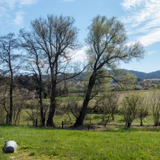
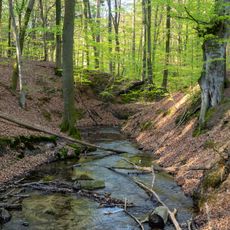
Hermannsberg is a mountain in the Teutoburger Wald region that rises to about 364 meters above sea level. The slopes are shaped by natural rock formations and varied plant life that make the ascent interesting.
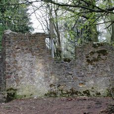
The mountain served as a geographical landmark for regional communities in medieval times and helped them define their territorial boundaries. Over the centuries, it remained an important reference point for people living in the Teutoburger Wald area.
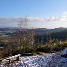
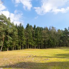
The summit serves as a regular meeting point for local hiking groups and nature enthusiasts from the area. These gatherings bring together people of different ages who share an interest in exploring the outdoors.
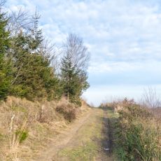
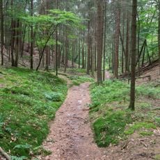
Several marked trails lead to the summit from different starting points, with the main path beginning near Lage's eastern district. Wearing sturdy footwear is advisable, and you should allow enough time for the climb depending on the season and weather conditions.
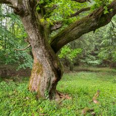
The mountain displays layers of sedimentary rock that are millions of years old and document the region's geological history. These rock layers tell the story of how the Teutoburger Wald area formed and changed over vast stretches of time.
Location: Lage
Elevation above the sea: 363.7 m
GPS coordinates: 51.93185,8.73796
Latest update: December 14, 2025 18:40
Tönsberg
4.4 km
Jagdschloss Lopshorn
4.7 km
Dörenpass
2.1 km
Hünenkapelle
3.3 km
Ölbachtal mit Augustdorfer Dünenfeld
3.6 km
Bahnhofstraße 1
4.6 km
Kirche Stapelage
1.7 km
Bauernburg Stapelage
1.7 km
Großer Ehberg
3 km
Bienenschmidt
1.4 km
Kupferberg
4.8 km
Maria Königin des Friedens
2.3 km
Heilig Geist (Detmold)
4 km
Evangelisch-reformierte Kirche Pivitsheide
3.9 km
Kirche Helpup (Oerlinghausen)
4.6 km
Dorfkirche Pivitsheide
3.8 km
Quellbereiche und Quellbäche am Lohweg
1.5 km
Evangelische Kirche
2.5 km
Tönsberg
3.8 km
LSG-Hoerster Bachtal
2.7 km
Trockentäler, Kastentäler und Dünen des oberen Westerholter Baches
4.3 km
LSG-Teutoburger Wald mit Lippischem Wald, Osning Kamm und oestlichem Osning-Vorland
2.4 km
LSG-Hasselbach
4.7 km
Schluchten und Moore am oberem Furlbach
4.1 km
Dörenschlucht
2 km
LSG-Hoerster Egge
2.8 km
LSG-Teutoburger Wald mit Brackweder Osning und Obere Senne mit Wistinghauser-, Haustenbecker- und Augustdorfer Senne und Ausläufern der Stukenbroker Lehmplatten
3.8 km
Hermannsberg
257 mVisited this place? Tap the stars to rate it and share your experience / photos with the community! Try now! You can cancel it anytime.
Discover hidden gems everywhere you go!
From secret cafés to breathtaking viewpoints, skip the crowded tourist spots and find places that match your style. Our app makes it easy with voice search, smart filtering, route optimization, and insider tips from travelers worldwide. Download now for the complete mobile experience.
A unique approach to discovering new places❞
— Le Figaro
All the places worth exploring❞
— France Info
A tailor-made excursion in just a few clicks❞
— 20 Minutes