Siedelsbrunn, Administrative division in Wald-Michelbach, Germany.
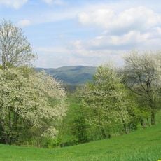
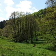
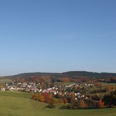
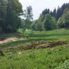
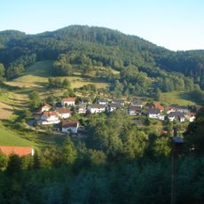
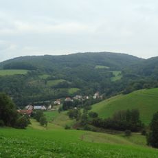
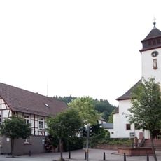
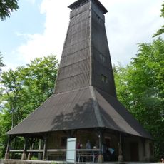
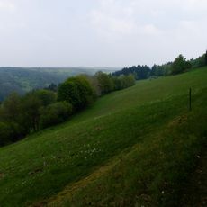
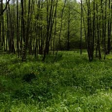
Siedelsbrunn is a municipality in the Bergstraße district of southern Hesse, situated at about 495 meters elevation among forests and open fields. The landscape is characterized by rolling wooded hills that dominate the surrounding region.
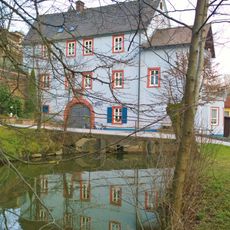
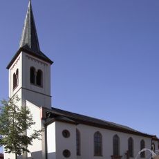
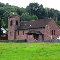
The settlement first appeared in written records in 1012 as Sidilines Brunnon, when it lay within the territory of Lorsch Monastery. This connection to one of the region's major medieval monasteries shaped its early development.
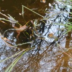
The village name comes from the springs that once shaped the settlement and still connect it to the land. Local identity is rooted in this relationship with water sources that define the place.
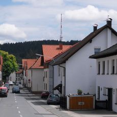
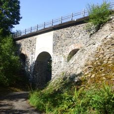
The regional road L535 connects the municipality to the surrounding heights and serves as the main transportation route through the area. The best time to visit is spring or autumn, when walking through the forests is most pleasant.
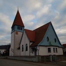
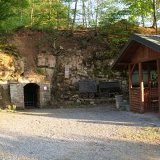
A Buddhist monastery called Buddhas Weg operates on the grounds, offering eastern healing practices and meditation for visitors. This unexpected presence of an Asian spiritual tradition adds a surprising dimension to the rural location.
The community of curious travelers
AroundUs brings together thousands of curated places, local tips, and hidden gems, enriched daily by 60,000 contributors worldwide.