Winsen an der Aller, municipality of Germany
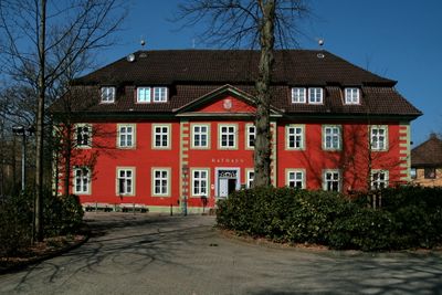
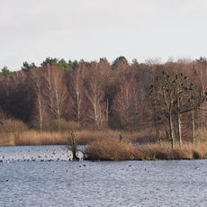
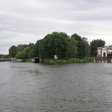
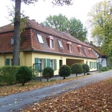
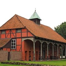
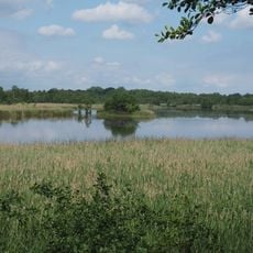
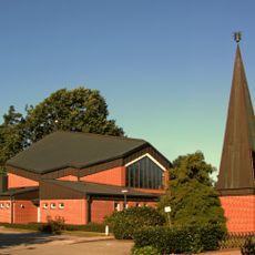
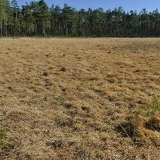
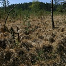
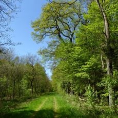
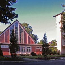
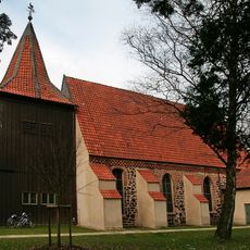
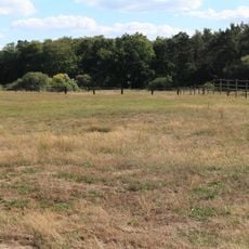
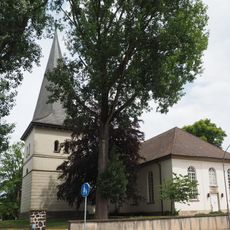
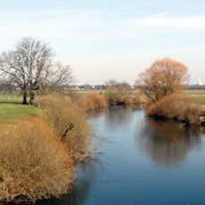
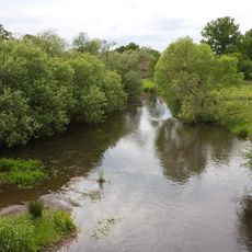
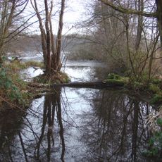
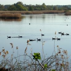
Winsen an der Aller is a small municipality on the edge of the Lüneburg Heath in Celle district, located along the river Aller. The area comprises several village sections including Bannetze and Meißendorf, with forests, fields, and lakes surrounding historic structures such as the church dedicated to John the Baptist and a half-timbered town hall built in 1734.
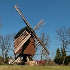
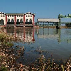
Settlement in the area developed around the 9th century, with the church likely dating to this period, and a castle was first mentioned in documents in 1312. The Junker Gate from 1693 recalls the town's former importance, while a windmill built in 1732 shows the area's traditional grain-milling heritage.
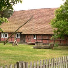
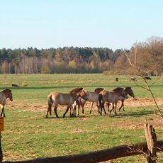
The name Winsen comes from an old word meaning meadow, reflecting the area's farming roots that continue to shape daily life. Local traditions like shooting festivals and markets selling fresh farm produce still connect residents and visitors to this rural heritage.
The area is best explored on foot or by bicycle, with village sections connected by field paths and woodland trails. A visitor center provides information and accommodation help, with the region most accessible from May through September, while local farms and a museum farm offer points of interest.
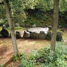
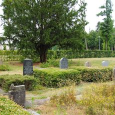
The town preserves the memory of a famous historical episode when two princes fought at what is now called the Princes' Stones and discovered after their battle that they were brothers, leading them to make peace. Locals still cherish this legend as part of their identity today.
The community of curious travelers
AroundUs brings together thousands of curated places, local tips, and hidden gems, enriched daily by 60,000 contributors worldwide.