Akbou, communes of Algeria
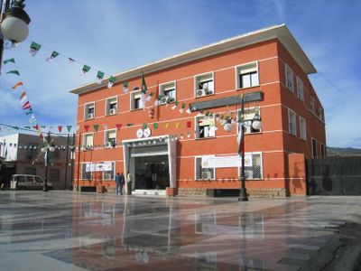
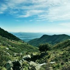
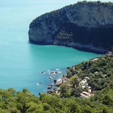
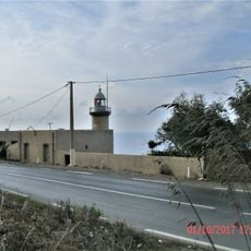
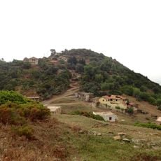
Akbou is a commune in Algeria situated on a hilltop in Béjaïa Province within the Kabylie region. The town is surrounded by green mountains and olive groves, with winding streets that follow the natural terrain and connected villages featuring stone houses and farmland.
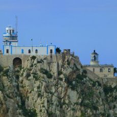
Akbou has Roman origins, evidenced by a mausoleum over 2000 years old built on a mountain peak, likely constructed by Roman builders. The town was officially established by the French in the late 19th century, though local populations mounted fierce resistance, particularly during uprisings in 1851 and 1871 led by figures such as Bou Baghli.
The name Akbou comes from the Tamazight language and refers to the town's elevated location. The community maintains strong Berber traditions that are visible in everyday life through its markets where families gather, the handmade crafts sold by local artisans, and festivals featuring traditional music and dance.
Akbou is easily walkable, with winding streets that follow the hilly terrain and connect the town center with surrounding villages. Local buses and shared taxis link the town to nearby places, while spring and autumn offer the most pleasant weather for visiting.
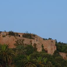
A Roman mausoleum over 2000 years old stands on a mountain peak visible from a distance. The ruins of Petra Castle, a destroyed fortress from earlier times, speak to the site's strategic importance and invite quiet exploration revealing less-known aspects of the past.
The community of curious travelers
AroundUs brings together thousands of curated places, local tips, and hidden gems, enriched daily by 60,000 contributors worldwide.