
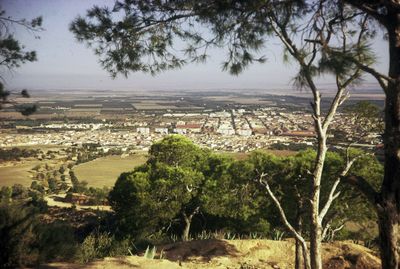
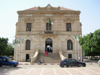
Sig, town near Oran, Algeria
Location: Sig District
Elevation above the sea: 62 m
Shares border with: Bou Henni
GPS coordinates: 35.52700,-0.18500
Latest update: May 27, 2025 13:29
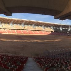
Miloud Hadefi Stadium
39.9 km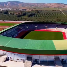
Abdelkrim Kerroum Stadium
2.2 km
Sheraton Oran Hotel and Towers
43.7 km
Cathédrale du Sacré-Cœur d'Oran
46 km
Stade Ahmed Zabana
44.4 km
Abdallah Ibn Salam Mosque
46.3 km
Ahmed Zabana National Museum
45.7 km
Kristel
42.9 km
Bey's Palace
46.4 km
Oran
45.3 km
Abdelhamid Ben Badis Mosque
42.6 km
Bahia Center
44.8 km
Bullring of Oran
47.1 km
Base aérienne 141 Oran la Sénia
40.5 km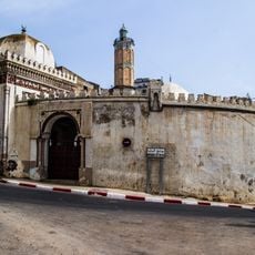
Hassan Pasha Mosque
46.9 km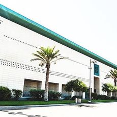
Centre de conventions d'Oran
42.8 km
La Calère
47.1 km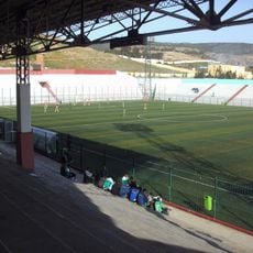
Stade Habib Bouakeul
47.5 km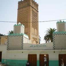
Imam el-Houari Mosque
46.9 km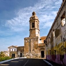
Iglesia de San Luis de Orán
46.3 km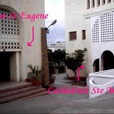
St. Mary's Cathedral, Oran
44.4 km
Mosquée du Bey Mohamed el-Kébir
45.4 km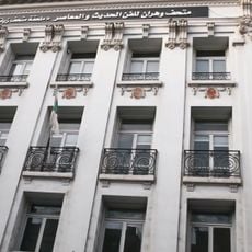
Museum of Modern Art of Oran
46.5 km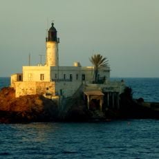
Îlot d'Arzew Lighthouse
39.8 km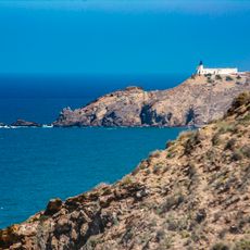
Cap de l'Aiguille Lighthouse
47.5 km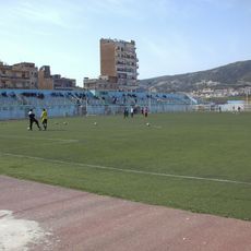
Stade Allal-Toula
47.5 km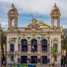
Regional Theatre of Oran Abdelkader Alloula
46.5 km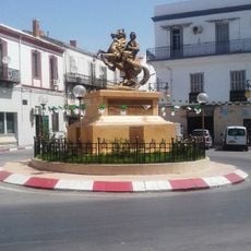
Equestrian statue of Abdelkader El Djezairi
33 kmReviews
Visited this place? Tap the stars to rate it and share your experience / photos with the community! Try now! You can cancel it anytime.
Discover hidden gems everywhere you go!
From secret cafés to breathtaking viewpoints, skip the crowded tourist spots and find places that match your style. Our app makes it easy with voice search, smart filtering, route optimization, and insider tips from travelers worldwide. Download now for the complete mobile experience.

A unique approach to discovering new places❞
— Le Figaro
All the places worth exploring❞
— France Info
A tailor-made excursion in just a few clicks❞
— 20 Minutes