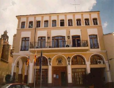
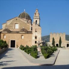
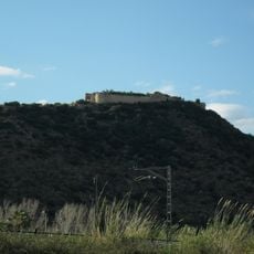
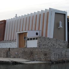
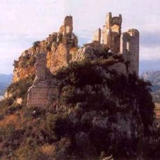
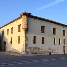
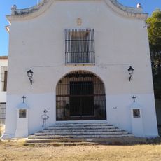
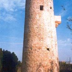
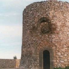
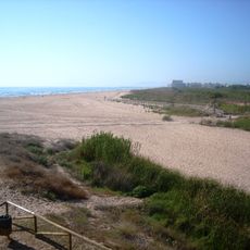
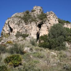
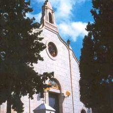
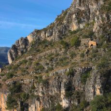
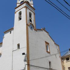
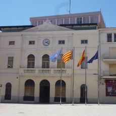
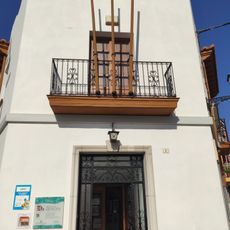
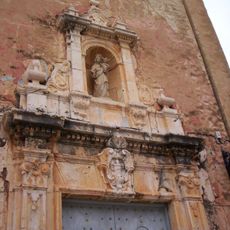
Xeraco, municipality of Valencian Country
Location: Safor
Location: Valencia Province
Inception: 1248
Capital city: Xeraco
Elevation above the sea: 3 m
Shares border with: Tavernes de la Valldigna, Simat de la Valldigna, Benifairó de la Valldigna, Xeresa, Gandia
Website: http://xeraco.es
GPS coordinates: 39.03198,-0.21468
Latest update: March 7, 2025 13:34
Monastery of Santa María de la Valldigna
8 km
Cova del Parpalló
5.8 km
Cueva de Bolomor
4.4 km
Castell de Bairén
4.7 km
Església de Sant Nicolau del Grau de Gandia
6.3 km
Castle of Alfàndec
5.6 km
Alqueria del Duc
5.7 km
Chapel of Saint Anne
6.6 km
Platja de l'Auir
3 km
Torre de la Vall
6 km
Watchtower Xeraco
1.7 km
Platja de Xeraco
2.6 km
Centre d'interpretació paratge natural Parpalló-Borrell
5.8 km
Chapel of Christ in Calvary
6.7 km
Castell de Tavernes
7 km
Centro de interpretación Marjal de Gandia
5.7 km
Braç treballador
6.6 km
Parpalló-Borrell
6.7 km
Mosque of La Xara
7.4 km
Church of Our Lady of the Incarnation
142 m
Church of Saint Peter
6.4 km
Church of Saint John the Evangelist
8 km
Town hall of Tavernes de la Valldigna
6.4 km
Church of the Sacred Family
7.4 km
Biblioteca Pública Municipal de Gandia - Grau
6.5 km
Biblioteca Pública Municipal de Gandia - Beniopa
7.1 km
Ermita de la Mare de Déu de Gràcia
8 km
Biblioteca Pública Municipal de Xeraco
157 mReviews
Visited this place? Tap the stars to rate it and share your experience / photos with the community! Try now! You can cancel it anytime.
Discover hidden gems everywhere you go!
From secret cafés to breathtaking viewpoints, skip the crowded tourist spots and find places that match your style. Our app makes it easy with voice search, smart filtering, route optimization, and insider tips from travelers worldwide. Download now for the complete mobile experience.
A unique approach to discovering new places❞
— Le Figaro
All the places worth exploring❞
— France Info
A tailor-made excursion in just a few clicks❞
— 20 Minutes