Teneza

Log in to your account

AroundUs is a community-driven map of interesting places, built by curious explorers like you. It grows with every review, story, and photo you share.
Connect to save your favorite spots, contribute locations, and create personalized routes.
Continue with Google
Continue with Apple
Continue with X
Continue with Facebook
Continue with email
By continuing, you accept our Terms and Conditions and our Privacy Policy
Create an account
Add to collection
Map
Suggest a change
Share

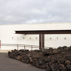
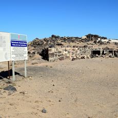
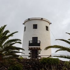
Teneza, Survey marker in Tinajo, Spain.

Teneza is a triangulation station operated by Spain's Instituto Geográfico Nacional, located on high ground near Tinajo on Lanzarote. It functions as a fixed reference point for mapping and surveying activities across the island.

Spain's Instituto Geográfico Nacional established this marker as part of the country's geodetic network to enable accurate land surveys and map-making. The station has remained in place as a key reference point for cartographic work on Lanzarote.

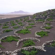
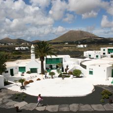
Local farmers and fishermen use this reference point to orient themselves while navigating between agricultural fields and coastal fishing areas of Tinajo.

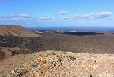
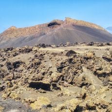
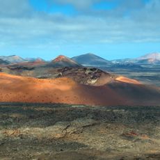
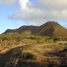
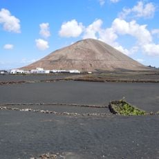
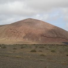
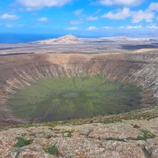
The station sits on elevated terrain and can be located using standard maps or GPS coordinates. You can see across much of the area from this vantage point.

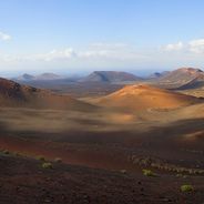
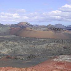
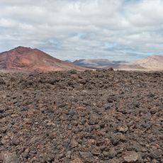
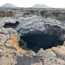
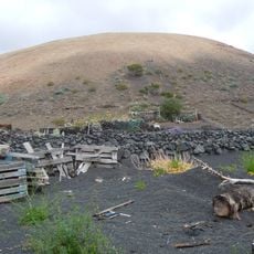
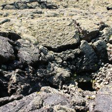
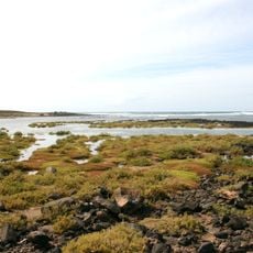
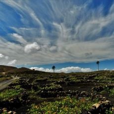
From this location you can see volcanic terrain and black sand beaches, revealing the geological character of Lanzarote. This vantage point connects the practical work of surveying with the island's natural features.

Location: Tinajo

Elevation above the sea: 369.605 m

Address: 35560 Tinajo, Las Palmas, Spain

GPS coordinates: 29.06691,-13.70666

Latest update: December 6, 2025 19:08

Photos
Discover the island of Lanzarote in the Canary archipelago

Lanzarote is an island in the Canaries shaped by its volcanic past. Timanfaya National Park spreads across a large part of the island, showing black lava fields, craters, and colored rock formations. Volcanoes like El Cuervo, Montaña Colorada, and Caldera Blanca can be hiked. Underground caves such...

Reviews

Visited this place? Tap the stars to rate it and share your experience / photos with the community! Try now! You can cancel it anytime.

« Teneza - Survey marker in Tinajo, Spain » is provided by Around Us (aroundus.com). Images and texts are derived from Wikimedia project under a Creative Commons license. You are allowed to copy, distribute, and modify copies of this page, under the conditions set by the license, as long as this note is clearly visible.

Discover hidden gems everywhere you go!

From secret cafés to breathtaking viewpoints, skip the crowded tourist spots and find places that match your style. Our app makes it easy with voice search, smart filtering, route optimization, and insider tips from travelers worldwide. Download now for the complete mobile experience.

Around Us App Screenshot

A unique approach to discovering new places

Le Figaro

All the places worth exploring

France Info

A tailor-made excursion in just a few clicks

20 Minutes