
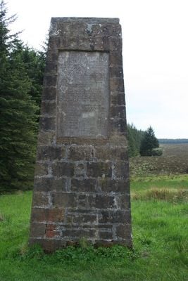
Bloodybush Pillar, toll road pillar signpost on the border of England and Scotland, near Kielder, Northumberland, UK
Location: Scottish Borders
Location: Kielder
Inception: 1828
GPS coordinates: 55.21160,-2.67524
Latest update: March 5, 2025 00:02

Kielder Water
11.6 km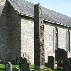
Bewcastle Cross
16.5 km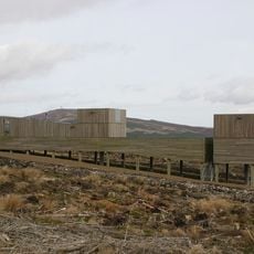
Kielder Observatory
4.4 km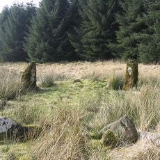
Ninestane Rig
8.3 km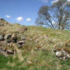
Mangerton Tower
10.8 km
Bewcastle Roman Fort
16.4 km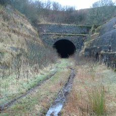
Whitrope Tunnel
11.2 km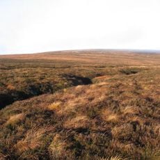
Peel Fell
10.3 km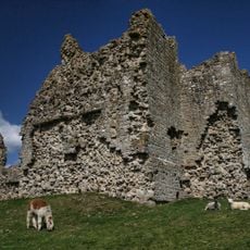
Bewcastle Castle
16.4 km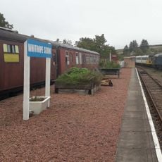
Whitrope Siding
10.3 km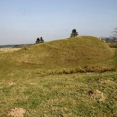
Liddel Castle
6.2 km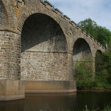
Kielder Viaduct
6.2 km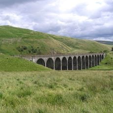
Shankend Viaduct
15.8 km
Churnsike Lodge
16.7 km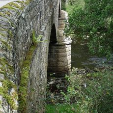
Falstone Bridge
15.6 km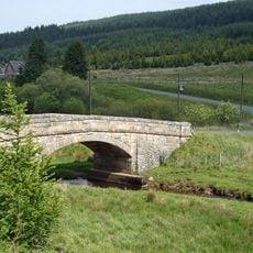
Kerseycleugh Bridge
6.1 km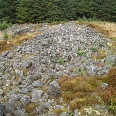
Devil's Lapful Long Cairn, 1km east of Butteryhaugh Bridge
7.3 km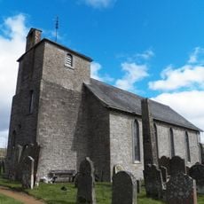
Church of St Cuthbert
16.5 km
Butteryhaugh Bridge
6.3 km
St Peter's Church
15.7 km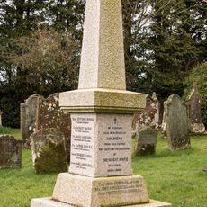
Bewcastle War Memorial
16.5 km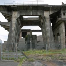
RAF Spadeadam: Greymare Hill Missile Test Area
17.5 km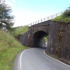
Whitrope Viaduct
10.1 km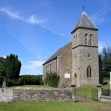
United Reformed Church
15.5 km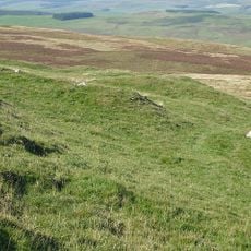
Penchrise Pen
17.2 km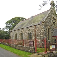
The Knowe United Reformed Church
13.6 km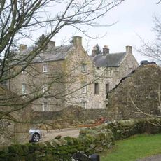
Stonegarthside Hall
12.9 km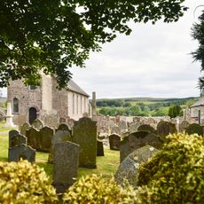
Bewcastle Roman fort, high cross shaft in St Cuthbert's churchyard, and Bew Castle medieval shell keep castle
16.4 kmVisited this place? Tap the stars to rate it and share your experience / photos with the community! Try now! You can cancel it anytime.
Discover hidden gems everywhere you go!
From secret cafés to breathtaking viewpoints, skip the crowded tourist spots and find places that match your style. Our app makes it easy with voice search, smart filtering, route optimization, and insider tips from travelers worldwide. Download now for the complete mobile experience.

A unique approach to discovering new places❞
— Le Figaro
All the places worth exploring❞
— France Info
A tailor-made excursion in just a few clicks❞
— 20 Minutes