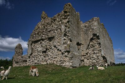
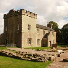
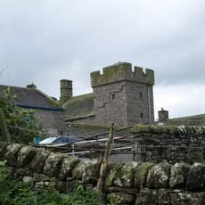
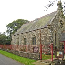
Bewcastle Castle, Medieval castle in Bewcastle, England
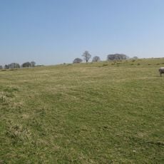
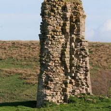
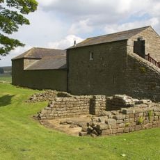
Bewcastle Castle is a medieval ruin with stone walls built on elevated ground in northern England's borderland region. The remains display typical Norman fortification design intended to control the challenging terrain.
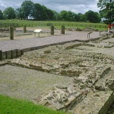
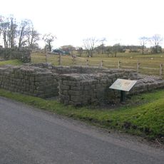
The castle was built during the 12th century Norman period to control the contested border between England and Scotland. Romans had previously used the location for a military fort centuries earlier.
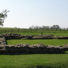
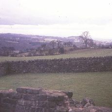
The castle stands adjacent to an ancient Roman fort, showing how this location held strategic importance across different periods. You can observe how the site served various military purposes through the centuries.
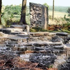
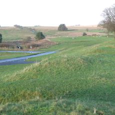
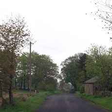
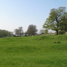
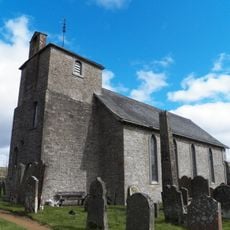
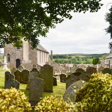
The site is accessible via marked pathways starting from St. Cuthbert's churchyard, with informational signs explaining the layout. The ground is uneven and can be muddy, so sturdy footwear is recommended.
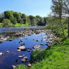
The location reveals a fascinating sequence of occupation spanning two thousand years, from Roman garrison to medieval border stronghold. This continuous military history is written into the landscape itself.
Location: Bewcastle
Part of: Bewcastle Roman fort, high cross shaft in St Cuthbert's churchyard, and Bew Castle medieval shell keep castle
GPS coordinates: 55.06440,-2.68139
Latest update: December 9, 2025 12:21
Borders of the Roman Empire
9.5 km
Banna
9.7 km
Bewcastle Cross
81 m
Hadrian's Wall
9.7 km
Birdoswald
9.7 km
Bewcastle Roman Fort
234 m
Milecastle 49
9.9 km
Leahill Turret
9.7 km
Askerton Castle
5.7 km
Pike Hill Signal Tower
9.9 km
Milecastle 52
9.8 km
Milecastle 50
9.6 km
Milecastle 51
9.6 km
Triermain Castle
8.4 km
Church of St Cuthbert
96 m
Church of St Mary
7.1 km
Bewcastle War Memorial
100 m
RAF Spadeadam: Greymare Hill Missile Test Area
5.5 km
Raf Spadeadam: Blue Streak Rocket
6.5 km
The Hill
9.7 km
The Knowe United Reformed Church
4.7 km
RAF Spadeadam: Priorlancy Rigg, Engine Test Area
4.1 km
Hadrian's Wall and vallum between the field boundary west of Coombe Crag and Banks Green Cottage and the road to Lanercost at Banks in wall miles 51 and 52
9.8 km
Bewcastle Roman fort, high cross shaft in St Cuthbert's churchyard, and Bew Castle medieval shell keep castle
51 m
Farmbuildings Situated 30 Metres North North West Of Birdoswald Farmhouse Or Tenement
9.7 km
Northrigghill
9.5 km
Spa Villa
9.8 km
RAF Spadeadam: Component Test Area
6 kmVisited this place? Tap the stars to rate it and share your experience / photos with the community! Try now! You can cancel it anytime.
Discover hidden gems everywhere you go!
From secret cafés to breathtaking viewpoints, skip the crowded tourist spots and find places that match your style. Our app makes it easy with voice search, smart filtering, route optimization, and insider tips from travelers worldwide. Download now for the complete mobile experience.
A unique approach to discovering new places❞
— Le Figaro
All the places worth exploring❞
— France Info
A tailor-made excursion in just a few clicks❞
— 20 Minutes