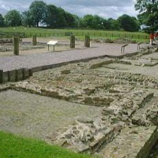
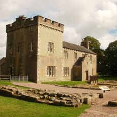
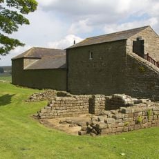
Bewcastle Roman Fort, Roman military fort in Cumbria, England
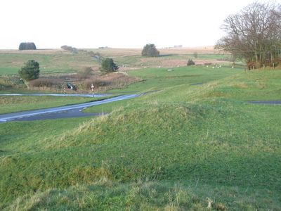
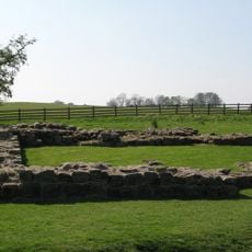
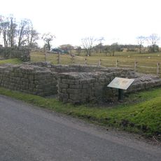
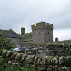
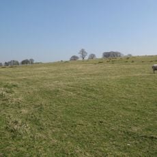
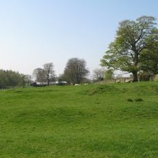
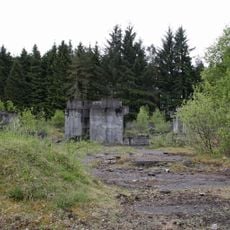
Bewcastle Roman Fort is a Roman military fort in northern England with an irregular hexagonal layout. Earthen embankments, ditches, and stone foundations are visible on the ground and trace the outline of the original structure.
The fort was built around 124 AD under the name Fanum Cocidi as a northern outpost beyond Hadrian's Wall. It was garrisoned by the First Cohort of Dacians, a unit originally from southeastern Europe.
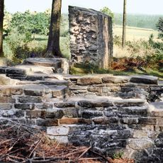
The fort was dedicated to Cocidius, a god worshipped in northern Britain, and his name is embedded in the Roman name of the site. Nine stone altars found here show how central religious practice was to daily life for the soldiers stationed at this outpost.
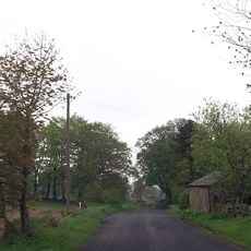
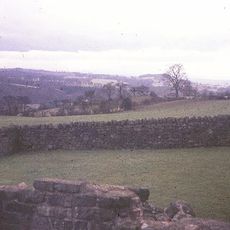
The site sits on open ground and can be explored on foot, as the earthworks and foundations are easy to read from ground level. There is no shelter here, so dry weather and sturdy footwear make the visit more comfortable.
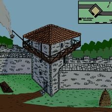
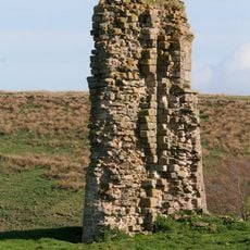
Two stone signal towers stood between this fort and Banna to the south, allowing soldiers to send visual signals across a wide stretch of open land. This link was especially important given how far the fort stood from the main line of Hadrian's Wall.
The community of curious travelers
AroundUs brings together thousands of curated places, local tips, and hidden gems, enriched daily by 60,000 contributors worldwide.