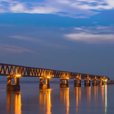
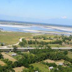
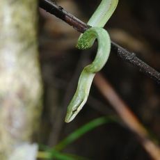
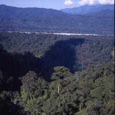
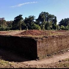
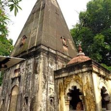
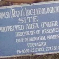
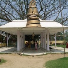
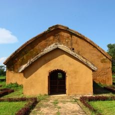
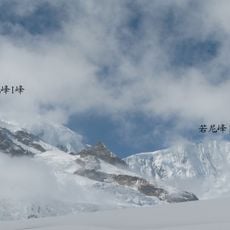
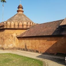
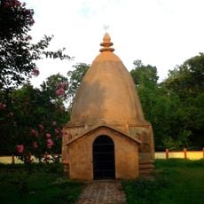
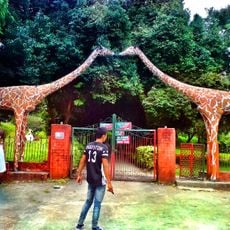
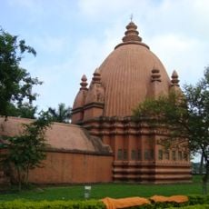
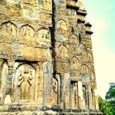
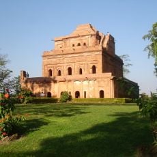
Lower Dibang Valley district, district of Arunachal Pradesh, India
Location: Arunachal Pradesh
Capital city: Roing
Shares border with: Upper Siang district, Tinsukia district
Website: http://roing.nic.in
GPS coordinates: 28.14454,95.84172
Latest update: March 22, 2025 18:47
Bogibeel Bridge
134.4 km
Dr. Bhupen Hazarika Bridge
41.8 km
Dehing Patkai National Park
95.8 km
Namdapha National Park
61.1 km
Dibru-Saikhowa National Park
73.9 km
Rang Ghar
178.2 km
Hkakabo Razi
167.3 km
Sivasagar Sivadol
175.6 km
Kareng Ghar
172.6 km
Dibang River Bridge
13.6 km
Mouling National Park
107.3 km
Kamlang Wildlife Sanctuary
78.8 km
Sivasagar Tank
175.1 km
Maidam
164.2 km
Bhismaknagar ruins
19.2 km
Basudev Than
153.1 km
Mehao Wildlife Sanctuary
9.8 km
Gomsi
50.9 km
Tilinga Mandir
98.3 km
Gola Ghar
178.2 km
Bairiga
142.6 km
Rangnath Dol
178.5 km
Bezar Doul
152.4 km
Mini zoo Roing
1.8 km
Sivasagar Devidol
175.5 km
Sivasagar Vishnudol
175.4 km
Ahom Raja's Palace
172.6 km
RIWATCH Museum
12.7 kmReviews
Visited this place? Tap the stars to rate it and share your experience / photos with the community! Try now! You can cancel it anytime.
Discover hidden gems everywhere you go!
From secret cafés to breathtaking viewpoints, skip the crowded tourist spots and find places that match your style. Our app makes it easy with voice search, smart filtering, route optimization, and insider tips from travelers worldwide. Download now for the complete mobile experience.
A unique approach to discovering new places❞
— Le Figaro
All the places worth exploring❞
— France Info
A tailor-made excursion in just a few clicks❞
— 20 Minutes