Bairiga, Mountain summit in the Kangri Garpo Range, Tibet Autonomous Region, China
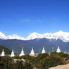
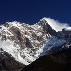
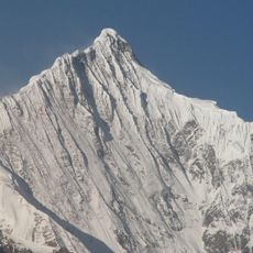
Bairiga is a mountain in Tibet Autonomous Region that reaches 6,882 meters in elevation. The peak features steep rocky walls on its northern and eastern sides, creating a dramatic high-altitude landscape.
Bairiga was photographed in 1933 by botanist Frank Kingdon-Ward, when it was known as Choembo. In 2009 a Sino-Japanese team from China University of Geosciences (Wuhan) and Kobe University made the first ascent of the range's 6,703 m Kangri Garpo II, renamed Lopchin, on 5 and 7 November. Bairiga itself remains unclimbed.
The name Lopchin, given to the 6,703 m secondary summit after its 2009 first ascent, means "white male hawk" in Tibetan (Lou bu qin in Chinese); the team chose it in consultation with a local village leader. The main peak, Bairiga or Ruoni, keeps its own Tibetan name.
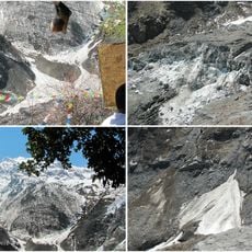
Bairiga itself remains unclimbed; the 2009 first ascent was of the lower Kangri Garpo II (Lopchin), reached from the northeast side. Approach from Rawu (about 36 km north) past the Xirilongpu glacier at the mountain's northern foot. The 2003 Japanese attempt on Ruoni I stopped at 5,600 m because of avalanche risk, a huge snow cornice and ten days of snowfall.
Bairiga was first photographed in 1933 by the botanist Frank Kingdon-Ward, who recorded it under the name Choembo. The peak itself has never been climbed, and before 2009 none of the 47 peaks above 6,000 m in the Kangri Garpo Range had been summited.
The community of curious travelers
AroundUs brings together thousands of curated places, local tips, and hidden gems, enriched daily by 93,794 contributors worldwide.