
Lutak Rural District, rural district in Sistan and Baluchestan, Iran
Location: Central District
Part of: Hamun County
GPS coordinates: 30.45417,61.08361
Latest update: April 4, 2025 03:49
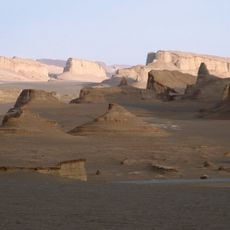
Dasht-e Lut
178.2 km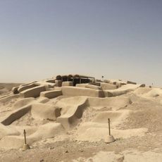
Shahr-e Sukhteh
28.1 km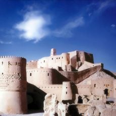
Bam Citadel
301.6 km
Jameh Mosque of Makki
109.7 km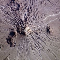
Kūh-e Zendeh
284.5 km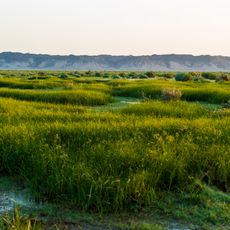
Mount Khajeh
56.6 km
Mount Taftan
206.4 km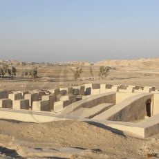
Dahan-e Gholaman
64.9 km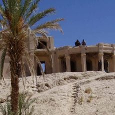
Farah Citadel
235.9 km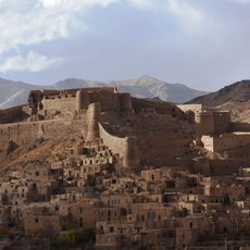
Furg Citadel
287.1 km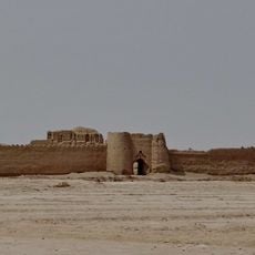
Rostam Castle
19.4 km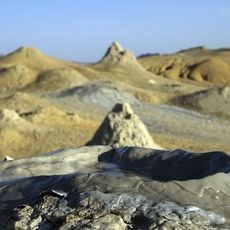
Pirgel Mud Volcano
280.6 km
Nehbandan Castle
156 km
Keshit Castle
291.6 km
Sanjrani House
310.6 km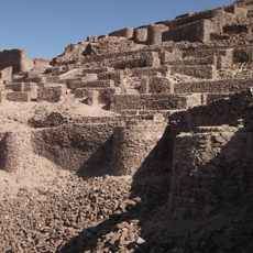
Shahdiz Castle
152.3 km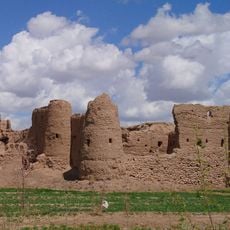
Basiran Castle
251.3 km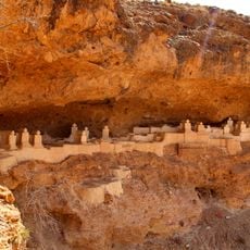
Haftad Molla Cemetery
197.6 km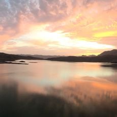
Asadiyeh Dam
256.5 km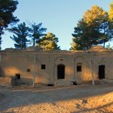
Mud Mansion
290.8 km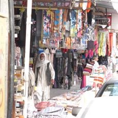
Zahedan Roofed Bazaar
108.3 km
Showkatabad Garden
316.4 km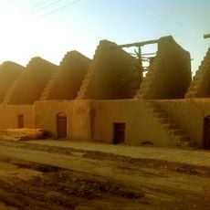
Khansharaf Windmill Complex
154.9 km
Nehbandan Windmill Complex
156.3 km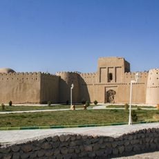
Heydarabad Castle
250 km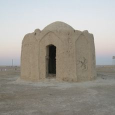
Vermal Fire Temple
38.7 km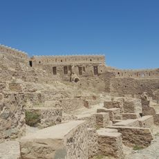
Arreh Furg Castle
287.6 km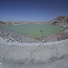
Siyahu Dam
222.3 kmReviews
Visited this place? Tap the stars to rate it and share your experience / photos with the community! Try now! You can cancel it anytime.
Discover hidden gems everywhere you go!
From secret cafés to breathtaking viewpoints, skip the crowded tourist spots and find places that match your style. Our app makes it easy with voice search, smart filtering, route optimization, and insider tips from travelers worldwide. Download now for the complete mobile experience.

A unique approach to discovering new places❞
— Le Figaro
All the places worth exploring❞
— France Info
A tailor-made excursion in just a few clicks❞
— 20 Minutes