
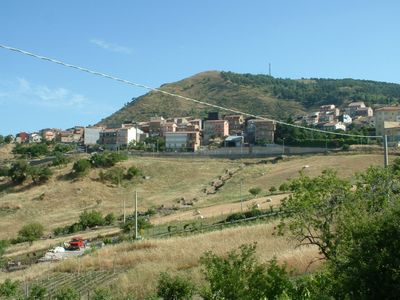
San Teodoro, Sicily, Italian comune
Location: Metropolitan City of Messina
Elevation above the sea: 1,150 m
Website: http://www.comune.santeodoro.me.it/comunesteodoro.html
Shares border with: Cesarò, Troina
Website: http://comune.santeodoro.me.it/comunesteodoro.html
GPS coordinates: 37.84594,14.70201
Latest update: April 2, 2025 23:38
Parco dei Nebrodi
11.9 km
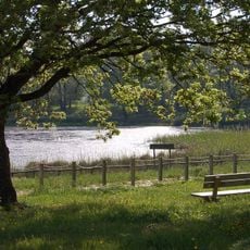
Lago Maulazzo
10.9 km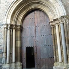
Abbey of Saint Mary of Maniace
10.3 km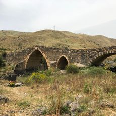
Ponte dei Saraceni
18.3 km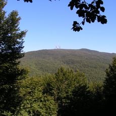
Monte Soro
9.6 km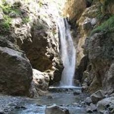
Cascata del Catafurco
19.1 km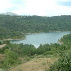
Lago di Ancipa
12.4 km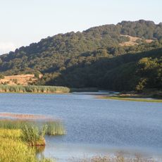
Lago Biviere
11.9 km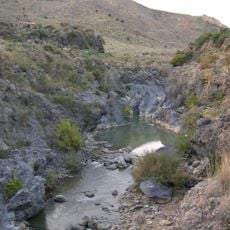
Forre laviche del Simeto
13.5 km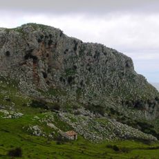
Rocche del Crasto
18.9 km
Mendolito
19.3 km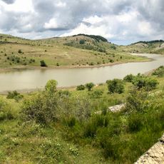
Lago Trearie
17 km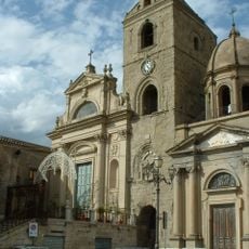
Maria Santissima Assunta
11.2 km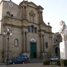
San Giacomo
19.7 km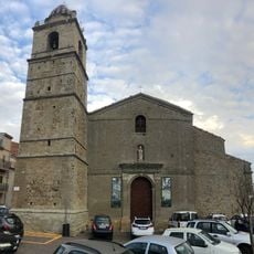
Sant'Ambrogio, Cerami
17.4 km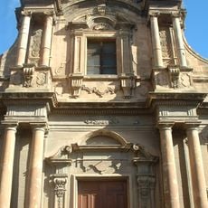
Santa Maria della Croce
22.5 km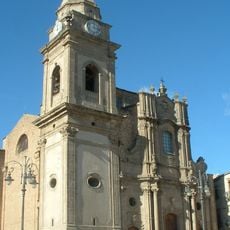
Chiesa madre
22.2 km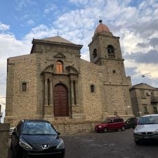
Sant'Antonio Abate, Cerami
17.4 km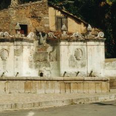
Fontana Abate
19.5 km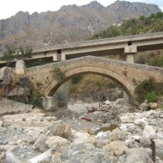
Ponte in pietra sulla fiumara Rosmarino
19 km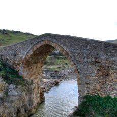
Ponte di Cicerone
19.8 km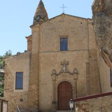
San Cataldo
20.8 km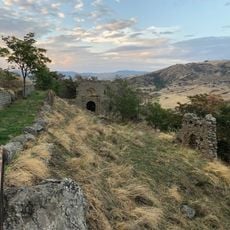
Castello
17.4 km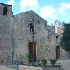
San Sebastiano
22.1 km
Castello Nelson
10.4 km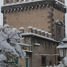
Castello Svevo
21.4 km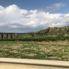
Acquedotto Biscari
21.9 km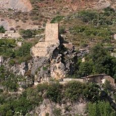
Castello Turio
19.5 kmReviews
Visited this place? Tap the stars to rate it and share your experience / photos with the community! Try now! You can cancel it anytime.
Discover hidden gems everywhere you go!
From secret cafés to breathtaking viewpoints, skip the crowded tourist spots and find places that match your style. Our app makes it easy with voice search, smart filtering, route optimization, and insider tips from travelers worldwide. Download now for the complete mobile experience.

A unique approach to discovering new places❞
— Le Figaro
All the places worth exploring❞
— France Info
A tailor-made excursion in just a few clicks❞
— 20 Minutes