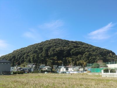
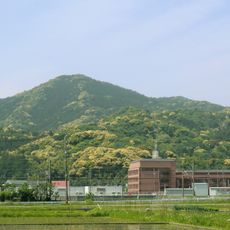
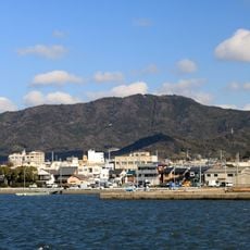
Mount Mito, Toyokawa, Mountain summit in Toyokawa, Japan.
Mount Mito is a summit in Toyokawa with an elevation near 95 meters, surrounded by dense forest. The mountain has several routes that wind through the vegetation to the top.
The mountain has been part of local folklore and stories passed down through generations. These tales shaped how people understand and connect with the place over time.
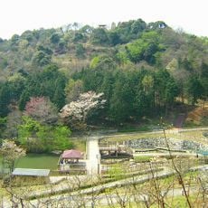
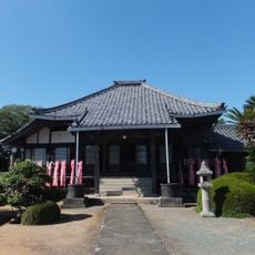
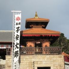
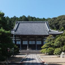
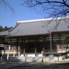
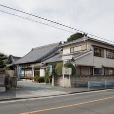
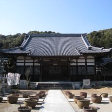
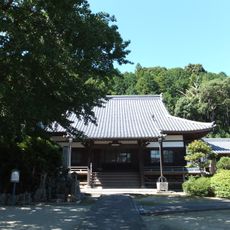
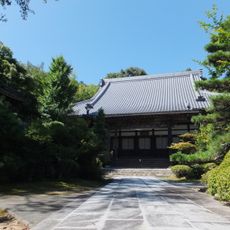
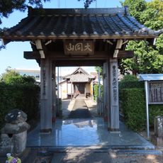
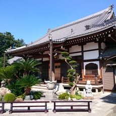
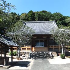
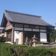
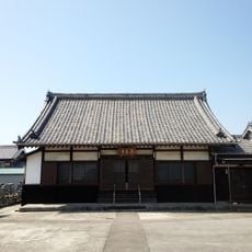
Buddhist temples and Shinto shrines dot the area around the mountain, which people still visit for prayer and reflection. These sacred spaces show how religious practice is woven into the landscape here.
The trails suit different fitness levels, with routes ranging from easy walks to more challenging hikes. The full climb from base to summit takes roughly three hours to complete.
The mountain has three separate peaks called East, Central, and West, each with its own views. Hikers can reach all three and see the surroundings from different angles.
The community of curious travelers
AroundUs brings together thousands of curated places, local tips, and hidden gems, enriched daily by 60,000 contributors worldwide.