
大牟礼, 鹿児島県指宿市の町丁
Location: Ibusuki
Inception: July 4, 1988
Shares border with: Jutchō, Minato, Jūnichō
GPS coordinates: 31.24056,130.64278
Latest update: March 18, 2025 16:23
Chiran Peace Museum for Kamikaze Pilots
24.1 km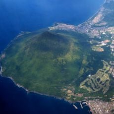
Mount Kaimon
12.8 km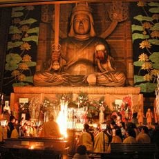
最福寺 (鹿児島市)
25.6 km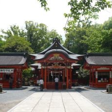
Hirasaki Shrine
10.5 km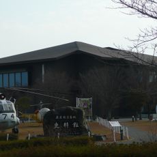
Kanoya Air Base Museum
24.2 km
Kagoshima City Hirakawa Zoo
28.3 km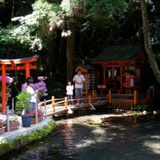
Tōsenkyō
9.8 km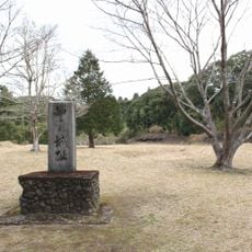
Chiran Castle
23.6 km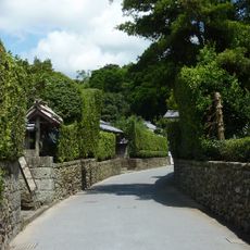
Chiran Samurai Residences
24.3 km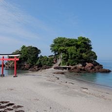
Arahira-tenjin
20.1 km
Japan National Route 448
1.9 km
Ogawa Falls
17.9 km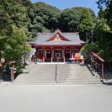
豊玉姫神社
25 km
Ibusuki Shrine
2.3 km
Shijūkusho-jinja
31.1 km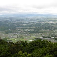
Nansatsu Plateau
20.6 km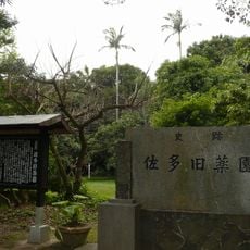
Sata physic gardens
17.2 km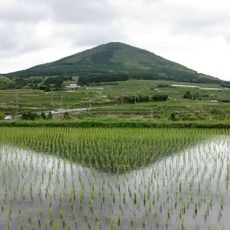
Ōno Dake
12.1 km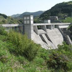
Kawanabe Dam
29.5 km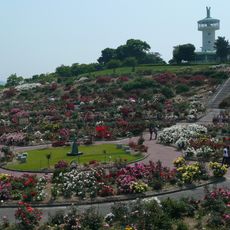
Kirishimagaoka Park
20.1 km
Kiire no ryukyukogai sanchi
11.7 km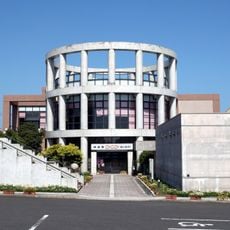
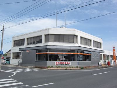
Ibusuki Archaeological Museum
980 m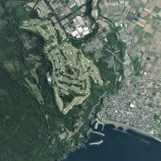
いぶすきゴルフクラブ
11.1 km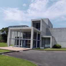
Iwasaki Art Museum
2.4 km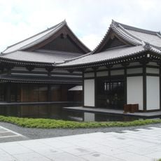
Satsuma Denshōkan
1.7 km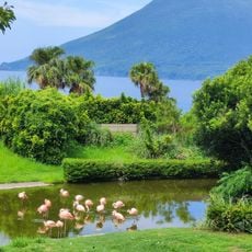
長崎鼻パーキングガーデン
10.3 km
Ōnejime Plateau
17.8 km
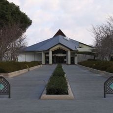
Saifuku-ji
24.8 kmReviews
Visited this place? Tap the stars to rate it and share your experience / photos with the community! Try now! You can cancel it anytime.
Discover hidden gems everywhere you go!
From secret cafés to breathtaking viewpoints, skip the crowded tourist spots and find places that match your style. Our app makes it easy with voice search, smart filtering, route optimization, and insider tips from travelers worldwide. Download now for the complete mobile experience.

A unique approach to discovering new places❞
— Le Figaro
All the places worth exploring❞
— France Info
A tailor-made excursion in just a few clicks❞
— 20 Minutes