Mount Kaimon, Volcano in Kagoshima Prefecture, Japan
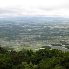
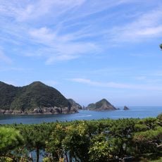
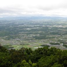
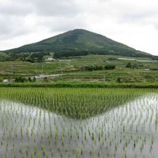
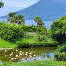
Mount Kaimon is a volcano on the southern coast of Kyushu in Kagoshima Prefecture, with a cone-shaped silhouette rising 924 meters above sea level. Rocky paths wind through forest to the top, where hikers find open views of the coastline.
The volcano formed roughly 4,000 years ago and last erupted in the year 885. Tephra and lava from that period still cover much of the surrounding area today.
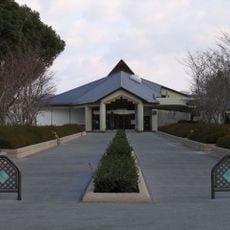
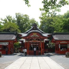
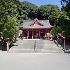
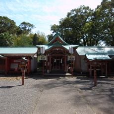
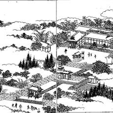
The name Kaimon is said to lead to kaemon, "sea gate", because the mountain at the southern tip of the Satsuma Peninsula served as a landmark for maritime traffic. Together with Noma-dake and Kinbo-san it forms the Satsuma Sanmine, three peaks used as navigation markers. At its foot stands Hirakiki Shrine, ichinomiya of Satsuma Province, which takes the mountain as its kami; the shrine's approach and hall align with the summit, where the Okumiya Mitake Shrine sits.
A spiral trail leads to the summit in about three hours; because the climb starts near sea level, the total ascent exceeds 900 m. Kaimon Station on the Ibusuki-Makurazaki line is the closest rail stop, but few trains call there, so plan connections. Buses also run to the mountain.
The summit's andesite lava dome sits atop a basalt stratovolcano, formed when lava erupted there in 874 and 885. The 1895 triangulation point gave 922.23 m, but after hikers noted a nearby rock was higher, the Geospatial Information Authority revised the official height to 924 m in 2001.
The community of curious travelers
AroundUs brings together thousands of curated places, local tips, and hidden gems, enriched daily by 93,849 contributors worldwide.