Enable Location

We need your location to show you interesting places around you

Discover nearby places

Find interesting locations and hidden gems around you

Precise directions

Get accurate directions and distances to places

Your location is never shared with other users. It's only used when you tap the location button.

Ōno Dake

Log in to your account

Start exploring — it's free

Trusted by 62,791 travelers worldwide

Continue with Google
Continue with Apple
or

We will send you a code to connect

By continuing, you accept our Terms and Conditions and our Privacy Policy

Check your inbox

We've sent a pincode in your inbox. Please enter the code below.

Ōno Dake

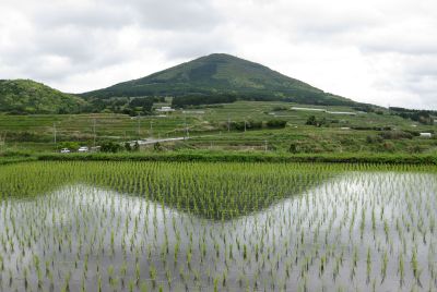
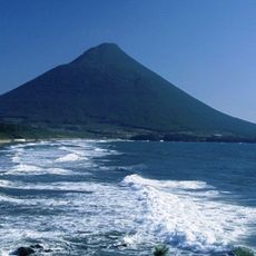
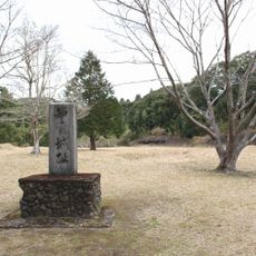
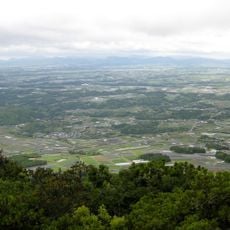
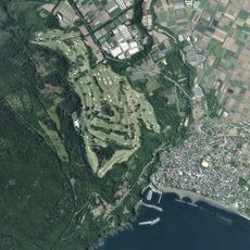
Ōno Dake, Volcanic summit in Minamikyūshū, Japan.

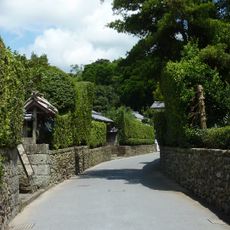
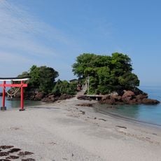
Ōno Dake is a volcanic summit in southern Kyushu with marked hiking trails and dense vegetation covering its slopes. Rock outcrops and natural features create varied terrain that changes as you climb toward the peak.

This volcanic formation developed over thousands of years through geological processes that shaped the landscape of Kagoshima Prefecture. The mountain's origin reflects the region's active volcanic past.

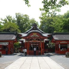
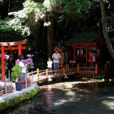
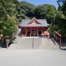
Local hikers view this volcanic hill as a valued walking destination that connects them to their natural surroundings. The mountain serves as a meeting point where people experience and appreciate the geology beneath their homes.

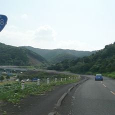
The climb is accessible year-round on marked trails suitable for various hiking abilities and fitness levels. Starting early helps you avoid afternoon heat and sudden weather changes common in this mountain region.

The mountainside reveals layers of volcanic rock and minerals that tell the story of past eruptions and geological activity. Hikers often notice how the rock types change as they ascend, showing different phases of the volcano's development.

The community of curious travelers

AroundUs brings together thousands of curated places, local tips, and hidden gems, enriched daily by 60,000 contributors worldwide.

Start exploring
Location
Elevation above the sea
465.9 m
GPS coordinates
31.25606,130.51683
Latest update
December 14, 2025 14:44
« Ōno Dake - Volcanic summit in Minamikyūshū, Japan » is provided by Around Us (aroundus.com). Images and texts are derived from Wikimedia project under a Creative Commons license. You are allowed to copy, distribute, and modify copies of this page, under the conditions set by the license, as long as this note is clearly visible.

Discover hidden gems everywhere you go!

From secret cafés to breathtaking viewpoints, skip the crowded tourist spots and find places that match your style. Our app makes it easy with voice search, smart filtering, route optimization, and insider tips from travelers worldwide. Download now for the complete mobile experience.

Around Us App Screenshot

A unique approach to discovering new places

Le Figaro

All the places worth exploring

France Info

A tailor-made excursion in just a few clicks

20 Minutes

Around Us
Travel Guide & Maps
Download

Send to your phone

QR Code
1

Open the camera app on your mobile.

2

Point at the QR code with your camera. A notification will appear.

3

Tap the notification to open the link.