
Kami, dissolved municipality in Taka district, Hyōgo prefecture, Japan
Location: Taka district
Inception: January 1, 1955
GPS coordinates: 35.10256,134.90047
Latest update: March 28, 2025 08:13
Ikuno Mine
10.6 km
Miwakare Park
16.5 km
Nihon Heso Park
14.6 km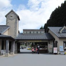
Yodel Forest
10.7 km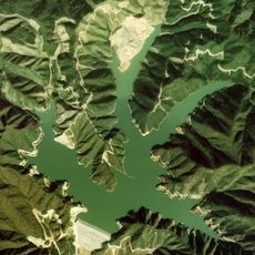
Okutataragi Pumped Storage Power Station
15.1 km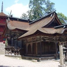
Kaibara hachiman-jinja
16.6 km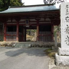
Sekiganji, Tamba
11.4 km
Tasshin-ji
13.2 km
旧来住家住宅
14.4 km
Naritasan hōrin-ji
13.3 km
Sai rin-ji
13.3 km
Okanoyama Museum of Art Nishiwaki
14.3 km
Tamba Municipal Ueno Memorial Art Museum
14.9 km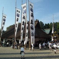
Hyōsu-jinja
12.1 km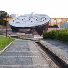
Nishiwaki Earth Science Museum
14.5 km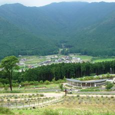
ラベンダーパーク多可
6.4 km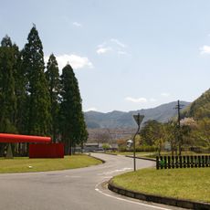
Asago Art Village
16.4 km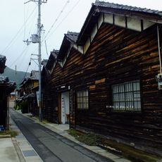
播州織工房館
14.5 km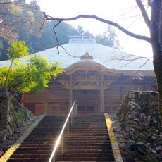
Shōgon-ji
12.1 km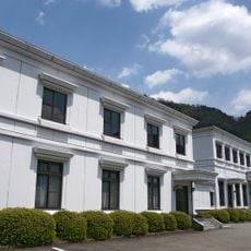
Tanyo Shinkin Bank Hall
12.2 km
Tesshin-ji
12.5 km
Hōraku-ji
11.1 km
Okusan-ji
16.3 km
Yōryū-ji
11.2 km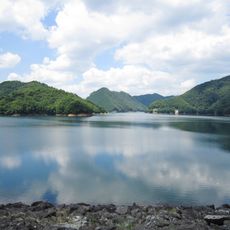
Asago Gunzan Prefectural Natural Park
14.7 km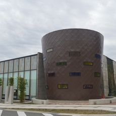
Nishiwaki City Library
15.3 km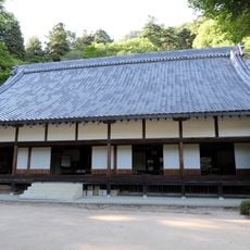
Enmei-ji
5.2 km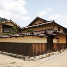
Old Yoshikawa Mansion
12 kmReviews
Visited this place? Tap the stars to rate it and share your experience / photos with the community! Try now! You can cancel it anytime.
Discover hidden gems everywhere you go!
From secret cafés to breathtaking viewpoints, skip the crowded tourist spots and find places that match your style. Our app makes it easy with voice search, smart filtering, route optimization, and insider tips from travelers worldwide. Download now for the complete mobile experience.

A unique approach to discovering new places❞
— Le Figaro
All the places worth exploring❞
— France Info
A tailor-made excursion in just a few clicks❞
— 20 Minutes