
Kashō Zan, mountain in Numata, Gunma prefecture, Japan
Location: Numata
Elevation above the sea: 1,322.4 m
Part of: 100 Famous Gunma Mountains
GPS coordinates: 36.75905,139.06234
Latest update: March 9, 2025 23:17
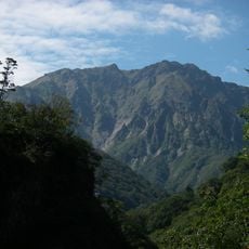
Mount Tanigawa
14.6 km
Lock Heart Castle
15.7 km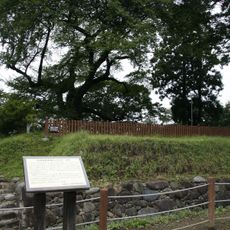
Numata Castle
12.5 km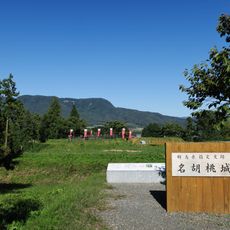
Nagurumi Castle
11.8 km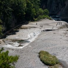
Fukiware Falls
14.4 km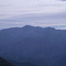
Mount Hotaka
8.1 km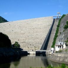
Naramata Dam
13.8 km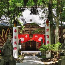
Kashōzan ryūke-in
854 m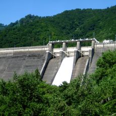
Sudagai Dam
12.2 km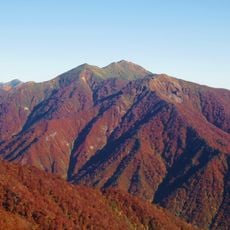
Mount Asahi
15.7 km
Green Bell 21
12.9 km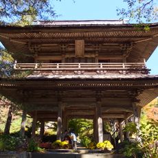
Kichijō-ji
7.6 km
高原千葉村
15.2 km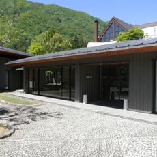
Ten-ichi Museum
10.2 km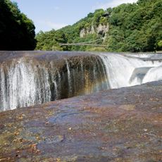
浮島 (群馬県)
14.4 km
Katashinagawabashi bridge
12.4 km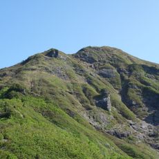
Mount Shiragamon
14 km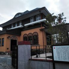
Historic Toki Residence
12.7 km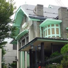
Former Kume House Western-style building
12.8 km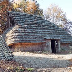
Yaze Site
9.9 km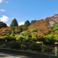
Numata Park
12.5 km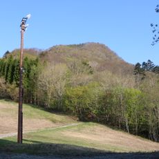
Mount Azumaya
12.1 km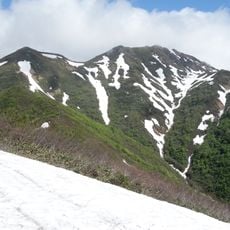
Kasaga Take
15.2 km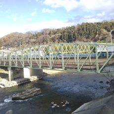
Sagiishibashi bridge
14.3 km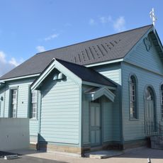
Former UCCJ Numata Church Memorial Hall
12.4 km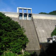
Fujiwara Dam
5.5 km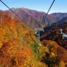
Tanigawadake Ropeway
12.2 km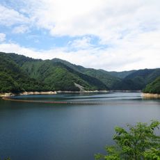
Lake Naramata
15 kmReviews
Visited this place? Tap the stars to rate it and share your experience / photos with the community! Try now! You can cancel it anytime.
Discover hidden gems everywhere you go!
From secret cafés to breathtaking viewpoints, skip the crowded tourist spots and find places that match your style. Our app makes it easy with voice search, smart filtering, route optimization, and insider tips from travelers worldwide. Download now for the complete mobile experience.

A unique approach to discovering new places❞
— Le Figaro
All the places worth exploring❞
— France Info
A tailor-made excursion in just a few clicks❞
— 20 Minutes