Queen Anne's County, Administrative county in Baltimore metropolitan area, United States.
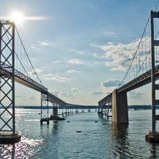
Queen Anne's County is an administrative county in Maryland's eastern shore region, extending across approximately 511 square miles with significant portions of Chesapeake Bay water territory. The area encompasses several communities and towns linked to the Baltimore metropolitan area.
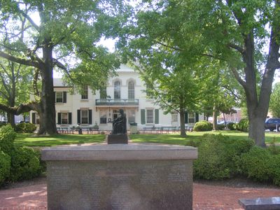
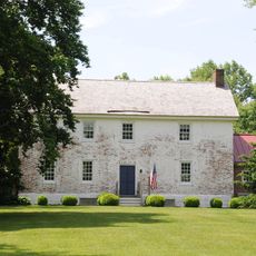
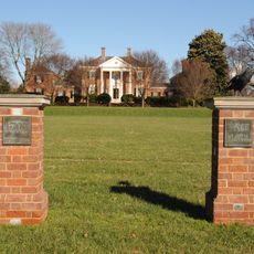
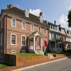
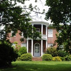
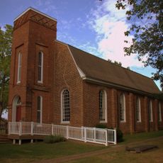
The county was officially established in 1706 and named after Queen Anne of Great Britain, who reigned during that period. European settlement in the area began decades earlier, with colonists establishing communities along the waterfront.
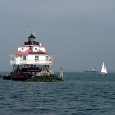
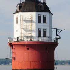
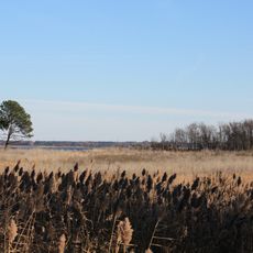
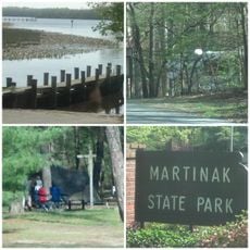
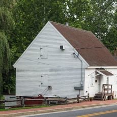
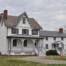
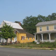
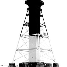
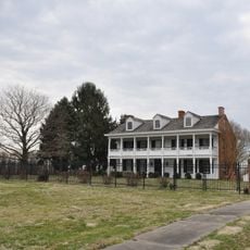
The county's identity is rooted in its watermen heritage, with local fishermen maintaining traditional practices of harvesting oysters, crabs, and terrapins from the Chesapeake Bay. This maritime way of life remains visible in the working waterfronts and the rhythms of the communities.
The area is best explored by car, as it is spread across multiple scattered towns and waterfront communities. Visitors should expect rural roads and local access points, as this is a largely rural county with no major urban centers.
Kent Island within the county was the site of one of Maryland's earliest European settlements, established well before the county itself was formally created. This historical foundation gives the area a deep colonial past that shaped subsequent development.
The community of curious travelers
AroundUs brings together thousands of curated places, local tips, and hidden gems, enriched daily by 60,000 contributors worldwide.