
Queen Anne's County, Administrative county in Baltimore metropolitan area, United States.
Queen Anne's County is an administrative county in Maryland's eastern shore region, extending across approximately 511 square miles with significant portions of Chesapeake Bay water territory. The area encompasses several communities and towns linked to the Baltimore metropolitan area.
The county was officially established in 1706 and named after Queen Anne of Great Britain, who reigned during that period. European settlement in the area began decades earlier, with colonists establishing communities along the waterfront.
The county's identity is rooted in its watermen heritage, with local fishermen maintaining traditional practices of harvesting oysters, crabs, and terrapins from the Chesapeake Bay. This maritime way of life remains visible in the working waterfronts and the rhythms of the communities.
The area is best explored by car, as it is spread across multiple scattered towns and waterfront communities. Visitors should expect rural roads and local access points, as this is a largely rural county with no major urban centers.
Kent Island within the county was the site of one of Maryland's earliest European settlements, established well before the county itself was formally created. This historical foundation gives the area a deep colonial past that shaped subsequent development.
Location: Maryland
Inception: 1706
Capital city: Centreville
Part of: Baltimore metropolitan area
Shares border with: Kent County, Kent County, Anne Arundel County, Talbot County, Caroline County
Website: http://qac.org
GPS coordinates: 39.03000,-76.08000
Latest update: December 15, 2025 13:21
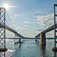
Chesapeake Bay Bridge
25.6 km
Sandy Point State Park
28.4 km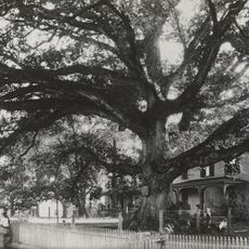
Wye Oak
10.1 km
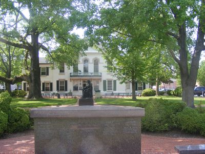
Wye House
21.1 km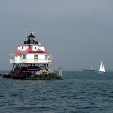
Thomas Point Shoal Light
34.1 km
Whitehall
30.1 km
Hart-Miller Island State Park, Maryland
35.5 km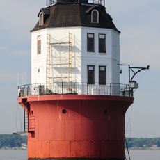
Baltimore Harbor Light
27.8 km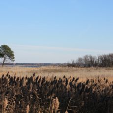
Eastern Neck National Wildlife Refuge
13.3 km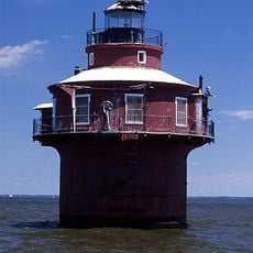
Craighill Channel Lower Range Front Light
32.4 km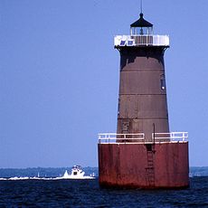
Bloody Point Bar Light
34.7 km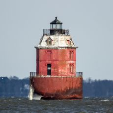
Sandy Point Shoal Light
26.4 km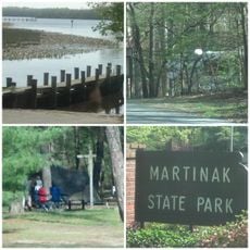
Martinak State Park
27.9 km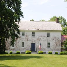
Lexon
2.8 km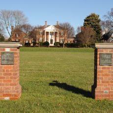
Wye Hall
16.1 km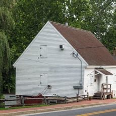
Wye Mill
9.9 km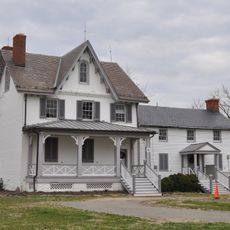
Todd Farmhouse
37.1 km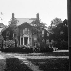
Hope House
23.7 km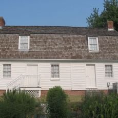
Cray House
21.1 km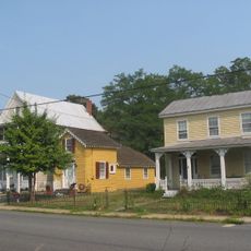
Stevensville Historic District
20.9 km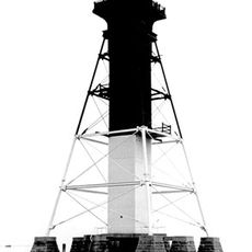
Craighill Channel Lower Range Rear Light
35 km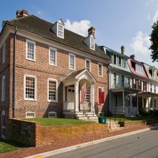
Chestertown Historic District
20.3 km
Adkins Arboretum
15.3 km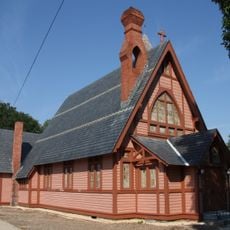
Christ Church
21 km
Ballestone Mansion
38.2 km
Castle Hall
25.6 km
Bloomingdale
7.2 km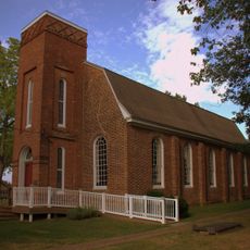
St. Luke's Church
14.9 kmVisited this place? Tap the stars to rate it and share your experience / photos with the community! Try now! You can cancel it anytime.
Discover hidden gems everywhere you go!
From secret cafés to breathtaking viewpoints, skip the crowded tourist spots and find places that match your style. Our app makes it easy with voice search, smart filtering, route optimization, and insider tips from travelers worldwide. Download now for the complete mobile experience.

A unique approach to discovering new places❞
— Le Figaro
All the places worth exploring❞
— France Info
A tailor-made excursion in just a few clicks❞
— 20 Minutes