Chest opened
+${chestReward.xp} XP
Explorer
NOUVEAU ×${chestReward.collectible.quantity}
tapez pour fermer

See the monuments around you in AR Open chests in the app

Around Us is built for your phone — point your camera at the streets and discover the monuments and places around you in augmented reality. Around Us is built for your phone — chests unlock when you walk, explore and capture nearby places.

•

Enable Location

We need your location to show you interesting places around you

Discover nearby places

Find interesting locations and hidden gems around you

Precise directions

Get accurate directions and distances to places

Your location is never shared with other users. It's only used when you tap the location button.

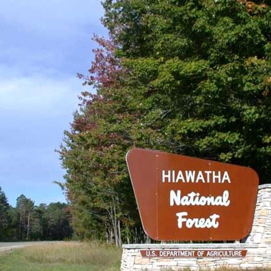
Hiawatha National Forest

Log in to your account

Start exploring — it's free

Trusted by 94,465 travelers worldwide

Continue with Google
Continue with Apple
or

We will send you a code to connect

By continuing, you accept our Terms and Conditions and our Privacy Policy

Check your inbox

We've sent a pincode in your inbox. Please enter the code below.

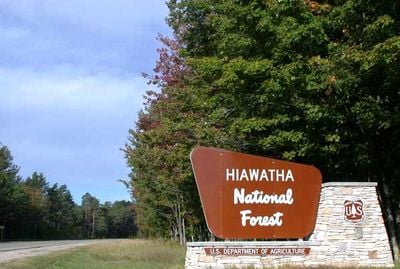
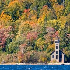
Hiawatha National Forest, National forest in Michigan, United States

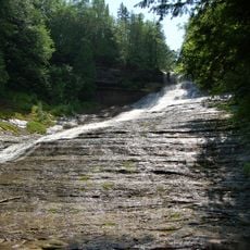
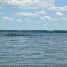
Hiawatha National Forest is a United States National Forest in Michigan's Upper Peninsula, divided into two units, East and West. The East Unit covers about 44% of the forest, while the West Unit covers about 56%, and both have shoreline on Lake Superior and Lake Michigan.

The East Unit was designated Marquette National Forest in 1909 and later became part of Hiawatha in 1962. The West Unit was established as Hiawatha National Forest in 1931 and was extensively replanted by the Civilian Conservation Corps.

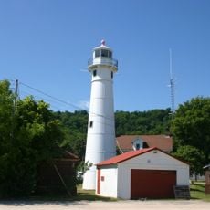
The forest's name comes from the Mohawk chief Hiawatha, who helped form the Iroquois Confederacy and is also the hero of Longfellow's poem. Visitors can see this heritage reflected in local place names and in the Point Iroquois Light, which now serves as a museum.

The forest is spread across a large area, so plan your visit around specific sections like the East Unit near Sault Ste. Marie or the West Unit near Munising. Many trailheads and campgrounds are accessible by car, but some remote areas require a short walk or a high-clearance vehicle.

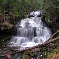
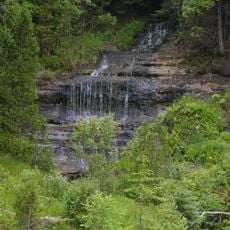
The forest includes six designated wilderness areas and five National Wild and Scenic Rivers, offering rare chances to see untouched landscapes. It also has over 100 miles of shoreline, with parts on three Great Lakes: Superior, Michigan, and Huron.

The community of curious travelers

AroundUs brings together thousands of curated places, local tips, and hidden gems, enriched daily by 94,465 contributors worldwide.
Start exploring
Location
Inception
January 16, 1931
GPS coordinates
46.13330,-86.66670
Latest update
November 10, 2026 08:09
Around this place
Grand Island National Recreation Area
United States of America

Grand Island National Recreation Area

27.2 mi
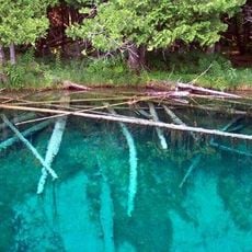
Palms Book State Park
United States of America

Palms Book State Park

16.3 mi
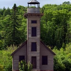
Grand Island East Channel Light
United States of America

Grand Island East Channel Light

22.5 mi
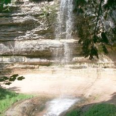
Munising Falls
United States of America

Munising Falls

20.1 mi
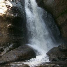
Miners Falls
United States of America

Miners Falls

24.5 mi
Laughing Whitefish Falls Scenic Site
United States of America

Laughing Whitefish Falls Scenic Site

26.1 mi
Indian Lake State Park
United States of America

Indian Lake State Park

20.7 mi
Wagner Falls Scenic Site
United States of America

Wagner Falls Scenic Site

17.6 mi
Wagner Falls
United States of America

Wagner Falls

17.4 mi
Manistique East Breakwater Light
United States of America

Manistique East Breakwater Light

24 mi
Scott Falls
United States of America

Scott Falls

21.5 mi
Tannery Falls
United States of America

Tannery Falls

19.6 mi
Onota, Au Train Township, Michigan
United States of America

Onota, Au Train Township, Michigan

21.4 mi
Munising Front Range Light
United States of America

Munising Front Range Light

19.5 mi
Grand Island Harbor Rear Range Light
United States of America

Grand Island Harbor Rear Range Light

21 mi
Munising Rear Range Light
United States of America

Munising Rear Range Light

19.3 mi
Alger Falls
United States of America

Alger Falls

18 mi
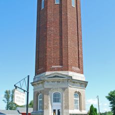
Manistique Pumping Station
United States of America

Manistique Pumping Station

23.1 mi
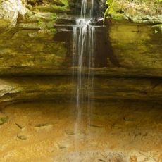
Memorial Falls
United States of America

Memorial Falls

19.8 mi
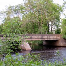
County Road I-39–Rapid River Bridge
United States of America

County Road I-39–Rapid River Bridge

16.8 mi
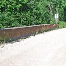
King Road–Whitefish River Bridge
United States of America

King Road–Whitefish River Bridge

22.3 mi
Old M-94–Au Train River Bridge
United States of America

Old M-94–Au Train River Bridge

22.1 mi
Schoolcraft Furnace Site
United States of America

Schoolcraft Furnace Site

20.2 mi
Paulson House
United States of America

Paulson House

20.9 mi
Lobb House
United States of America

Lobb House

19.2 mi
Sand Point Beach
United States of America

Sand Point Beach

22.1 mi
Grand Island Harbor Front Range Light
United States of America

Grand Island Harbor Front Range Light

21.2 mi
Nahma and Northern Railway no. 5
United States of America

Nahma and Northern Railway no. 5

20.2 mi
Show the full map
Reviews
Share your experience

No review yet

Discussions
Start a discussion...

No discussion yet

« Hiawatha National Forest - National forest in Michigan, United States » is provided by Around Us (aroundus.com). Images and texts are derived from Wikimedia project under a Creative Commons license. You are allowed to copy, distribute, and modify copies of this page, under the conditions set by the license, as long as this note is clearly visible.

Discover hidden gems everywhere you go!

From secret cafés to breathtaking viewpoints, skip the crowded tourist spots and find places that match your style. Our app makes it easy with voice search, smart filtering, route optimization, and insider tips from travelers worldwide. Download now for the complete mobile experience.

Around Us App Screenshot
❝

A unique approach to discovering new places❞

— Le Figaro

❝

All the places worth exploring❞

— France Info

❝

A tailor-made excursion in just a few clicks❞

— 20 Minutes

Around Us
Travel Guide & Maps
Download

Send to your phone

QR Code
1

Open the camera app on your mobile.

2

Point at the QR code with your camera. A notification will appear.

3

Tap the notification to open the link.