
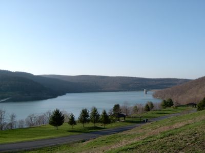
Jennings Randolph Lake, reservoir spanning the border between Maryland and West Virginia, United States
Location: Mineral County
Location: Garrett County
GPS coordinates: 39.43260,-79.12170
Latest update: March 28, 2025 18:15
Deep Creek Lake
24.7 km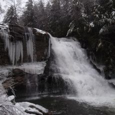
Swallow Falls State Park
27.1 km
Deep Creek Lake State Park
18.8 km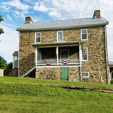
Sloan–Parker House
27 km
Dans Mountain
25.4 km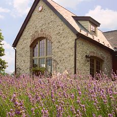
Stone Cottage
23.2 km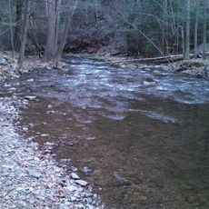
Big Run State Park
12.6 km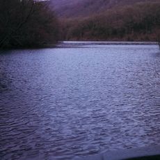
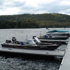
Savage River Reservoir
8.4 km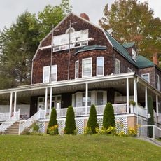
Pennington Cottage
18.2 km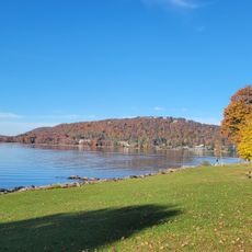
Deep Creek Lake State Park
18.5 km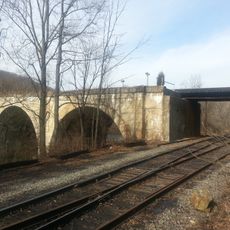
Bloomington Viaduct
6.8 km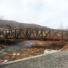
Waverly Street Bridge
9.3 km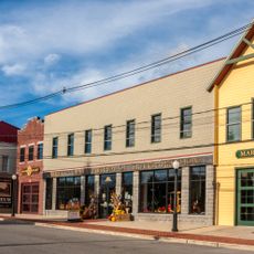
Oakland Historic District
24.5 km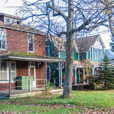
Mountain Lake Park Historic District
22.7 km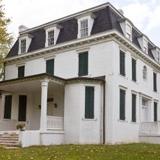
Thomas R. Carskadon House
11.5 km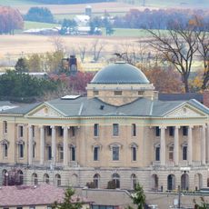
Garrett County Courthouse
24.7 km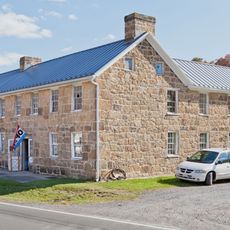
Travelers Rest
16.2 km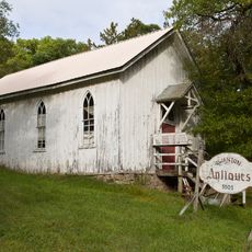
Anderson Chapel
9.9 km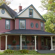
Creedmore
22.8 km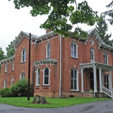
Shaw Mansion
15.6 km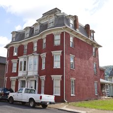
Henry Glassaway Davis House
8.3 km
Gormania Presbyterian Church
24.8 km
Lonaconing Historic District
19.6 km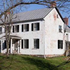
Carskadon House
23.8 km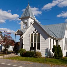
Burlington Historic District
20.5 km
Arrowhead Market
19.2 km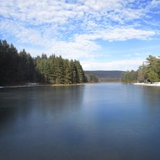
New Germany State Park
22.3 km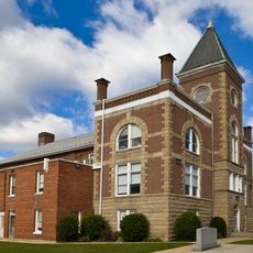
Mineral County Courthouse
12.8 kmReviews
Visited this place? Tap the stars to rate it and share your experience / photos with the community! Try now! You can cancel it anytime.
Discover hidden gems everywhere you go!
From secret cafés to breathtaking viewpoints, skip the crowded tourist spots and find places that match your style. Our app makes it easy with voice search, smart filtering, route optimization, and insider tips from travelers worldwide. Download now for the complete mobile experience.

A unique approach to discovering new places❞
— Le Figaro
All the places worth exploring❞
— France Info
A tailor-made excursion in just a few clicks❞
— 20 Minutes