Garrett County

Log in to your account

AroundUs is a community-driven map of interesting places, built by curious explorers like you. It grows with every review, story, and photo you share.
Connect to save your favorite spots, contribute locations, and create personalized routes.
By continuing, you accept our Terms and Conditions and our Privacy Policy
Add to collection
Map
Suggest a change
Share

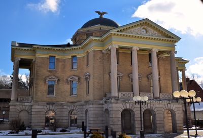
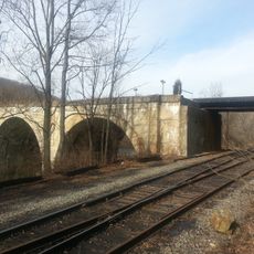
Garrett County, Administrative county in western Maryland, US.

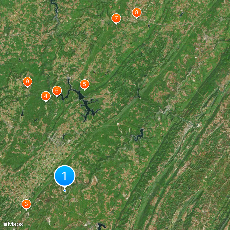
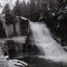
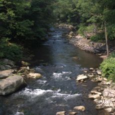
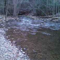
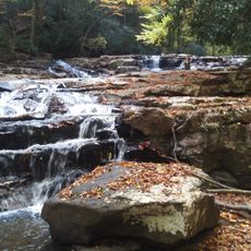
Garrett County is an administrative county in western Maryland situated across the Appalachian Mountains, encompassing extensive forests, lakes, and parks with elevations reaching about 3,360 feet (1,024 meters). The region is defined by its mountainous terrain and outdoor recreation areas.

The county was established in 1872 by the Maryland General Assembly when it was separated from Allegany County. It was named after John Work Garrett, president of the Baltimore and Ohio Railroad.

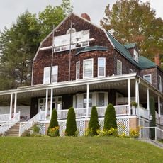
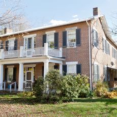
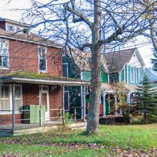
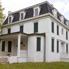
The region reflects strong German, Irish, and English heritage through local traditions and customs. An Amish community has shaped daily life and the landscape since around 1850 with their distinctive way of living.

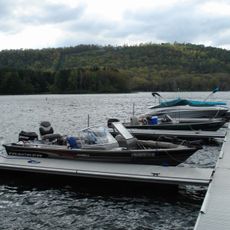
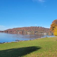
Deep Creek Lake is the main destination offering year-round recreation including skiing in winter and boating, fishing, and hiking in warmer months. The location provides relatively convenient access from major cities like Baltimore, Washington D.C., and Pittsburgh.

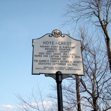
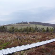
Hoye-Crest at approximately 1,024 meters (3,360 feet) marks the highest point in the entire state of Maryland. This mountain peak often goes unnoticed despite being the state's geographic summit.

Location: Maryland

Inception: 1872

Capital city: Oakland

Shares border with: Somerset County, Allegany County, Mineral County, Grant County, Preston County, Fayette County

Website: https://garrettcounty.org

GPS coordinates: 39.28333,-79.36667

Latest update: December 6, 2025 21:27

Photos
Around this place
Show the full map
Deep Creek Lake
United States of America

Deep Creek Lake

25.3 km
Hoye-Crest
United States of America

Hoye-Crest

11.4 km
Swallow Falls State Park
United States of America

Swallow Falls State Park

24.3 km
Deep Creek Lake State Park
United States of America

Deep Creek Lake State Park

27.4 km
Casselman Bridge
United States of America

Casselman Bridge

49.8 km
Cranesville Swamp Preserve
United States of America

Cranesville Swamp Preserve

29.3 km
Big Run State Park
United States of America

Big Run State Park

35.2 km
Savage River Reservoir
United States of America

Savage River Reservoir

32.1 km
Pennington Cottage
United States of America

Pennington Cottage

15.5 km
Deep Creek Lake State Park
United States of America

Deep Creek Lake State Park

27.4 km
Potomac-Garrett State Forest
United States of America

Potomac-Garrett State Forest

24.5 km
Bloomington Viaduct
United States of America

Bloomington Viaduct

33.6 km
Waverly Street Bridge
United States of America

Waverly Street Bridge

36.1 km
Oakland Historic District
United States of America

Oakland Historic District

14.5 km
Lonaconing Furnace
United States of America

Lonaconing Furnace

46.2 km
Mountain Lake Park Historic District
United States of America

Mountain Lake Park Historic District

12.7 km
Thomas R. Carskadon House
United States of America

Thomas R. Carskadon House

36.5 km
Garrett County Courthouse
United States of America

Garrett County Courthouse

14.2 km
Fuller-Baker Log House
United States of America

Fuller-Baker Log House

48.9 km
Travelers Rest
United States of America

Travelers Rest

34.1 km
Anderson Chapel
United States of America

Anderson Chapel

22.8 km
Stanton's Mill
United States of America

Stanton's Mill

49.9 km
Creedmore
United States of America

Creedmore

13 km
Shaw Mansion
United States of America

Shaw Mansion

42.2 km
Henry Glassaway Davis House
United States of America

Henry Glassaway Davis House

35.1 km
Bayard Bridge
United States of America

Bayard Bridge

1.1 km
Gormania Presbyterian Church
United States of America

Gormania Presbyterian Church

2 km
Lonaconing Historic District
United States of America

Lonaconing Historic District

46.1 km
Show the full map
Reviews

Visited this place? Tap the stars to rate it and share your experience / photos with the community! Try now! You can cancel it anytime.

« Garrett County - Administrative county in western Maryland, US » is provided by Around Us (aroundus.com). Images and texts are derived from Wikimedia project under a Creative Commons license. You are allowed to copy, distribute, and modify copies of this page, under the conditions set by the license, as long as this note is clearly visible.

Discover hidden gems everywhere you go!

From secret cafés to breathtaking viewpoints, skip the crowded tourist spots and find places that match your style. Our app makes it easy with voice search, smart filtering, route optimization, and insider tips from travelers worldwide. Download now for the complete mobile experience.

Around Us App Screenshot

A unique approach to discovering new places

Le Figaro

All the places worth exploring

France Info

A tailor-made excursion in just a few clicks

20 Minutes