Sixth principal meridian, Land surveying meridian in Nebraska and Kansas, United States
The Sixth Principal Meridian is a surveying line that runs from Kansas northward through Nebraska to the Missouri River. The line is located at longitude 97°22'08" west and serves as a reference for the land survey system across multiple states.
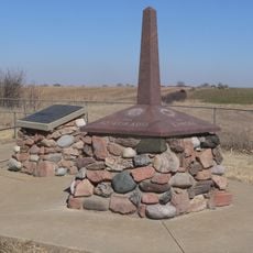
Charles A. Manners established this meridian by setting a cast iron monument on May 8, 1855, following the Kansas-Nebraska Act. This marker became the foundation for all subsequent land surveys in the region.
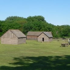
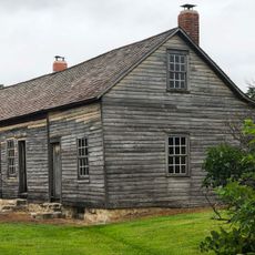
The grid system shaped how highways, property lines, and rural ownership patterns developed across the region. Walking through the area today, you can notice how roads and field boundaries align with this invisible surveying line.
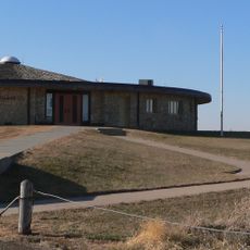
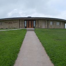
A parking area and informational signs are provided at the site for easy visitor access. The primary marker is clearly marked, making orientation straightforward.
A pentagonal structure at the Initial Point displays the names and seals of five states: Kansas, Nebraska, Colorado, Wyoming, and South Dakota. This building symbolizes how the surveying line connects multiple states.
The community of curious travelers
AroundUs brings together thousands of curated places, local tips, and hidden gems, enriched daily by 60,000 contributors worldwide.