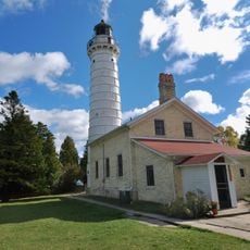
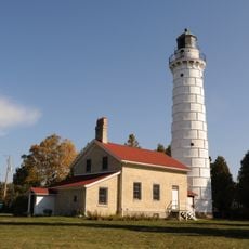
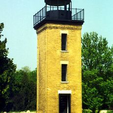
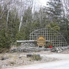
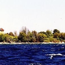
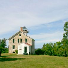
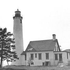
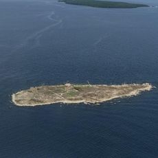
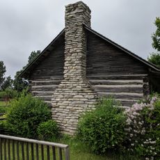
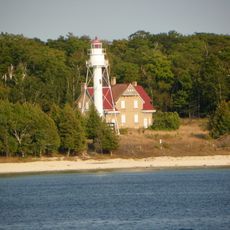
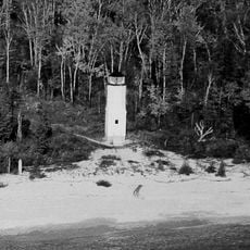
Washington, civil town in Door County, Wisconsin
Location: Door County
Elevation above the sea: 197 m
GPS coordinates: 45.39472,-86.93139
Latest update: March 11, 2025 12:25
Peninsula State Park
35.2 km
Cana Island
35.3 km
Cana Island Light
35.3 km
Newport State Park
18.4 km
Rock Island State Park
9.1 km
Peninsula Point Light
30.6 km
Pilot Island
12.2 km
The Clearing Folk School
18.6 km
Pilot Island Light
12.3 km
Pottawatomie Light
8.9 km
Poverty Island Light Station
25.6 km
Green Bay National Wildlife Refuge
8.8 kmMero Site
29.8 km
Gravel Island National Wildlife Refuge
21.3 km
Minneapolis Shoal Light Station
21.4 km
St. Martin Island Light
18.1 km
Ephraim Moravian Church
32.6 km
Free Evangelical Lutheran Church-Bethania Scandinavian Evangelical Lutheran Congregation
32.5 km
Gibraltar District School No. 2
32.4 km
School House Beach Park
534 m
Thordarson Estate Historic District
8.2 km
Water Tower
10 km
Ephraim Village Hall
32.5 km
Peter Peterson House
32.4 km
Jacobsen Museum
1.7 km
Washington Island Farm Museum
1 km
Plum Island Range rear light
9.9 km
Plum Island Range front light
10.3 kmVisited this place? Tap the stars to rate it and share your experience / photos with the community! Try now! You can cancel it anytime.
Discover hidden gems everywhere you go!
From secret cafés to breathtaking viewpoints, skip the crowded tourist spots and find places that match your style. Our app makes it easy with voice search, smart filtering, route optimization, and insider tips from travelers worldwide. Download now for the complete mobile experience.
A unique approach to discovering new places❞
— Le Figaro
All the places worth exploring❞
— France Info
A tailor-made excursion in just a few clicks❞
— 20 Minutes