Enable Location

We need your location to show you interesting places around you

Discover nearby places

Find interesting locations and hidden gems around you

Precise directions

Get accurate directions and distances to places

Your location is never shared with other users. It's only used when you tap the location button.

Door County

Log in to your account

Start exploring — it's free

Trusted by 61,989 travelers worldwide

Continue with Google
Continue with Apple
or

We will send you a code to connect

By continuing, you accept our Terms and Conditions and our Privacy Policy

Check your inbox

We've sent a pincode in your inbox. Please enter the code below.

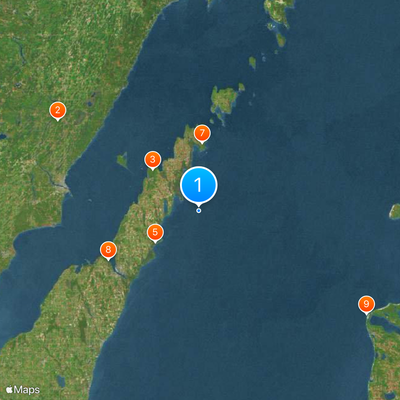
Door County, Administrative division in eastern Wisconsin, United States.

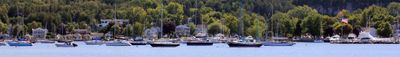
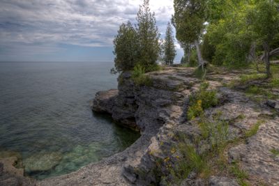
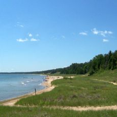
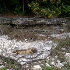
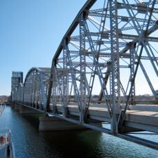
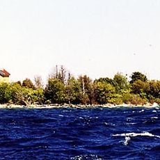
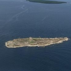
Door County is a peninsula in eastern Wisconsin extending between Green Bay and Lake Michigan. The landscape features limestone cliffs and a shoreline that stretches for hundreds of miles along both bodies of water.

The area was established in 1851 and took its name from the dangerous strait called Death's Door connecting Green Bay to Lake Michigan. Belgian immigrants founded communities during the 19th century and brought European farming methods to the region.

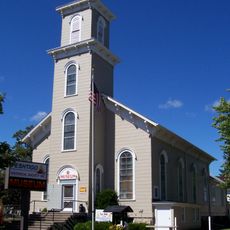
Belgian immigrants established strong communities in the 19th century, introducing European agricultural methods and architectural styles still visible in the Namur Historic District.

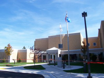
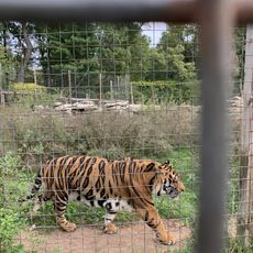
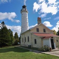
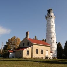
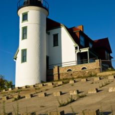
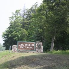
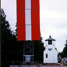
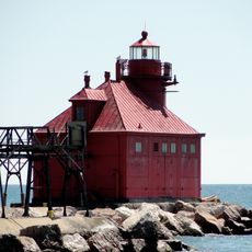
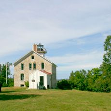
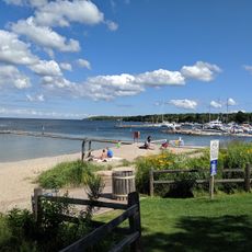
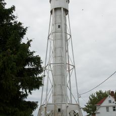
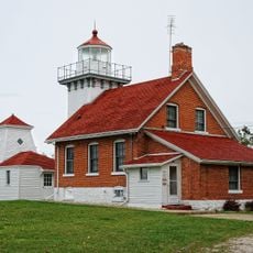
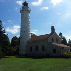
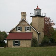
Six state parks and over fifty lighthouses provide access to the shorelines and landscapes across the peninsula. Numerous public beaches can be found along both the Green Bay side and the Lake Michigan side.

During winter the bay freezes solid enough to support temporary fishing cabins built directly on the ice surface. The Namur Historic District still shows 19th-century European architectural styles brought by early settlers.

The community of curious travelers

AroundUs brings together thousands of curated places, local tips, and hidden gems, enriched daily by 60,000 contributors worldwide.

Start exploring
Location
Inception
1851
Capital city
Sturgeon Bay
Shares border with
Kewaunee County, Oconto County, Marinette County, Menominee County, Delta County, Leelanau County, Benzie County, Brown County
GPS coordinates
45.02000,-87.01000
Latest update
December 13, 2025 16:33
Around this place
DeYoung Family Zoo
United States of America

DeYoung Family Zoo

59.2 km
Peninsula State Park
United States of America

Peninsula State Park

21.9 km
Cana Island
United States of America

Cana Island

8.2 km
Whitefish Dunes State Park
United States of America

Whitefish Dunes State Park

18.9 km
Cana Island Light
United States of America

Cana Island Light

8.1 km
Newport State Park
United States of America

Newport State Park

24 km
United States of America

Potawatomi State Park

36.3 km
Point Betsie Light
United States of America

Point Betsie Light

69.9 km
SS Lakeland
United States of America

SS Lakeland

29.3 km
Rock Island State Park
United States of America

Rock Island State Park

46.5 km
Green Island Light
United States of America

Green Island Light

38.2 km
Sturgeon Bay Bridge
United States of America

Sturgeon Bay Bridge

36 km
Interstate Bridge
United States of America

Interstate Bridge

49.3 km
Peshtigo Fire Museum
United States of America

Peshtigo Fire Museum

58.6 km
Wells State Park
United States of America

Wells State Park

51.1 km
Baileys Harbor Range Lights
United States of America

Baileys Harbor Range Lights

10.4 km
Sturgeon Bay Canal North Pierhead Light
United States of America

Sturgeon Bay Canal North Pierhead Light

34.7 km
The Clearing Folk School
United States of America

The Clearing Folk School

27.1 km
Pilot Island Light
United States of America

Pilot Island Light

30.3 km
Pottawatomie Light
United States of America

Pottawatomie Light

47.6 km
Sister Bay beach
United States of America

Sister Bay beach

20.9 km
The Ridges Sanctuary
United States of America

The Ridges Sanctuary

10.4 km
Green Bay National Wildlife Refuge
United States of America

Green Bay National Wildlife Refuge

33.4 km
Sturgeon Bay Canal Light
United States of America

Sturgeon Bay Canal Light

34.6 km
Sherwood Point Light
United States of America

Sherwood Point Light

36.2 km
Door County Maritime Museum
United States of America

Door County Maritime Museum

36.2 km
Eagle Bluff Light
United States of America

Eagle Bluff Light

24.3 km
United States of America

Mero Site

13.7 km
Show the full map
Administrative divisions
« Door County - Administrative division in eastern Wisconsin, United States » is provided by Around Us (aroundus.com). Images and texts are derived from Wikimedia project under a Creative Commons license. You are allowed to copy, distribute, and modify copies of this page, under the conditions set by the license, as long as this note is clearly visible.

Discover hidden gems everywhere you go!

From secret cafés to breathtaking viewpoints, skip the crowded tourist spots and find places that match your style. Our app makes it easy with voice search, smart filtering, route optimization, and insider tips from travelers worldwide. Download now for the complete mobile experience.

Around Us App Screenshot

A unique approach to discovering new places

Le Figaro

All the places worth exploring

France Info

A tailor-made excursion in just a few clicks

20 Minutes

Around Us
Travel Guide & Maps
Download

Send to your phone

QR Code
1

Open the camera app on your mobile.

2

Point at the QR code with your camera. A notification will appear.

3

Tap the notification to open the link.