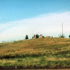
Antelope Creek Dam 20-A, Höhle in den Vereinigten Staaten
Location: Sheridan County
GPS coordinates: 42.79556,-102.23222
Latest update: November 21, 2025 14:52

Wounded Knee National Historic Landmark
40.1 km
Spade Ranch
55.8 km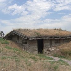
Bordeaux Trading Post
56.6 km
Bowring Ranch State Historical Park
48.8 km
Camp Sheridan
42.3 km
Lacreek National Wildlife Refuge
62.6 km
Plains Theatre
20.6 km
Inland Theater
58.5 km
Crites Hall
62.8 km
Colclesser Bridge
34.3 km
Loosveldt Bridge
26.9 km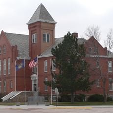
Sheridan County Courthouse
20.5 km
Sparks Hall
62.8 km
Chadron Public Library
62.7 km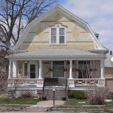
Lee and Gottliebe Fritz House
2.5 km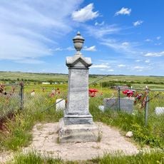
Wounded Knee cemetery
40.2 km
Museum of the Fur Trade
56.9 km
Antelope Creek Dam 40-B
2.6 km
Antelope Creek Dam 60-A
3.2 km
Anderson Dam
49.4 km
Oglala Lake
57.9 km
Jones Reservoir
58.4 km
Shell Lake
21.2 km
Evening Star Butte
43.7 km
Beaver Wall
40 km
Gordon Country Club GC and Park
1.1 km
AH-1 Cobra Helicopter
2.5 km
Red Cloud Heritage Center
42.7 kmReviews
Visited this place? Tap the stars to rate it and share your experience / photos with the community! Try now! You can cancel it anytime.
Discover hidden gems everywhere you go!
From secret cafés to breathtaking viewpoints, skip the crowded tourist spots and find places that match your style. Our app makes it easy with voice search, smart filtering, route optimization, and insider tips from travelers worldwide. Download now for the complete mobile experience.

A unique approach to discovering new places❞
— Le Figaro
All the places worth exploring❞
— France Info
A tailor-made excursion in just a few clicks❞
— 20 Minutes