
Evening Star Butte, summit in Sheridan County, Nebraska, United States of America
Location: Sheridan County
Location: Nebraska
GPS coordinates: 42.84278,-102.76333
Latest update: April 19, 2025 22:13
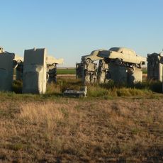
Carhenge
78.4 km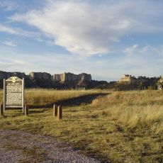
Fort Robinson
60.7 km
Wounded Knee National Historic Landmark
46.5 km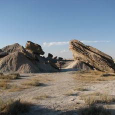
Toadstool Geologic Park
66.9 km
Hudson-Meng Bison Kill
69.9 km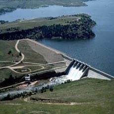
Angostura Reservoir
75.1 km
Chadron State Park
25.6 km
Pine Ridge National Recreation Area
38.3 km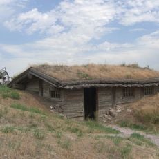
Bordeaux Trading Post
13.3 km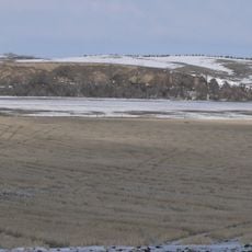
Camp Sheridan
1.9 km
Angostura Dam
78 km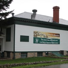
Trailside Museum of Natural History at Fort Robinson State Park
60.7 km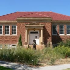
Mari Sandoz High Plains Heritage Center
19.7 km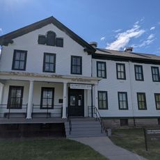
Fort Robinson State Park
62.1 km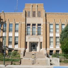
Dawes County Courthouse
46.4 km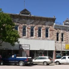
Chadron Commercial Historic District
19.4 km
Plains Theatre
28.3 km
Crites Hall
19.5 km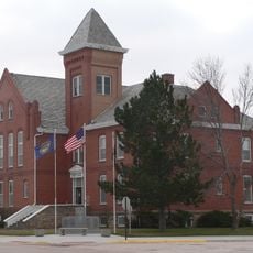
Sheridan County Courthouse
28.4 km
Sparks Hall
19.5 km
Miller Hall
19.5 km
Chadron Public Library
19.3 km
Edna Work Hall
19.6 km
Lee and Gottliebe Fritz House
45.9 km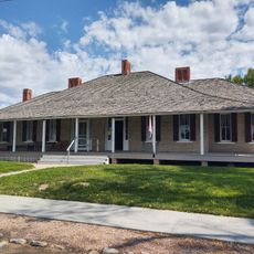
Fort Robinson Museum & History Center
60.7 km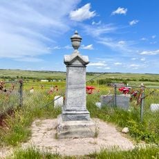
Wounded Knee cemetery
46.6 km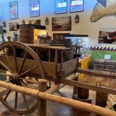
Museum of the Fur Trade
13.6 km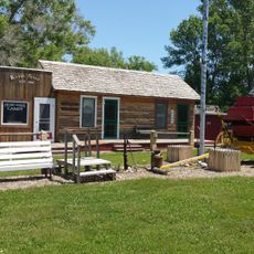
Dobby's Frontier Town
81 kmReviews
Visited this place? Tap the stars to rate it and share your experience / photos with the community! Try now! You can cancel it anytime.
Discover hidden gems everywhere you go!
From secret cafés to breathtaking viewpoints, skip the crowded tourist spots and find places that match your style. Our app makes it easy with voice search, smart filtering, route optimization, and insider tips from travelers worldwide. Download now for the complete mobile experience.

A unique approach to discovering new places❞
— Le Figaro
All the places worth exploring❞
— France Info
A tailor-made excursion in just a few clicks❞
— 20 Minutes