Sheridan County, County in Nebraska, United States.
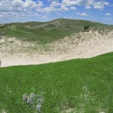
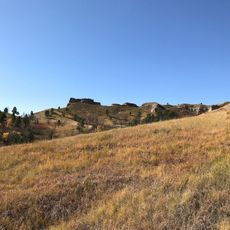
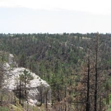
Sheridan County is an administrative division in Nebraska covering roughly 2,470 square miles with varied landscapes throughout its territory. Sandy hills dominate the southern portion while pine forests cover the northern areas.
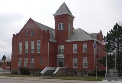
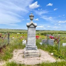
The county was established in 1885 and named after General Philip H. Sheridan, with Rushville chosen as its administrative center. This founding was part of Nebraska's development following western expansion in the late 1800s.
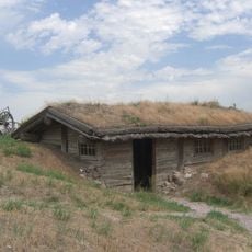
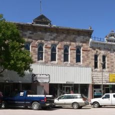
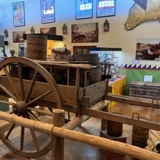
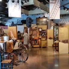
The four main towns in the county shape local life through ranching and farming practices that have defined how people live and work here for many generations.
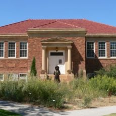
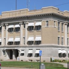
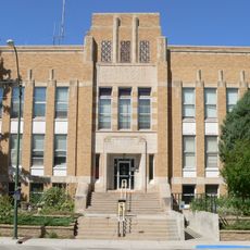
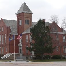
The county courthouse in Rushville provides government services and administrative information for the area. Visitors can stop by to address official matters or get information about local services.
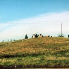
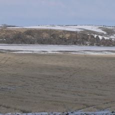
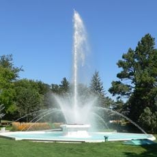
The Box Butte Reservoir in the southeast serves as a water source for irrigation and allows farming to thrive in drier areas of the Mirage Flats region. This water project shows how infrastructure adapted the landscape for agricultural use over time.
Location: Nebraska
Inception: 1885
Capital city: Rushville
Shares border with: Oglala Lakota County, Garden County, Cherry County, Grant County, Morrill County, Box Butte County, Dawes County, Bennett County
GPS coordinates: 42.50000,-102.43000
Latest update: December 10, 2025 15:55
Nebraska Sand Hills Mixed Grasslands
45.7 km
Carhenge
53.2 km
Wounded Knee National Historic Landmark
71.7 kmSpade Ranch
35.3 km
Chadron State Park
53.5 km
Pine Ridge National Recreation Area
59 km
Bordeaux Trading Post
54.2 kmCrescent Lake National Wildlife Refuge
86.2 km
Camp Sheridan
46.9 km
Mari Sandoz High Plains Heritage Center
58.9 km
City of Alliance Central Park Fountain
56.9 km
Box Butte County Courthouse
57.4 km
Dawes County Courthouse
82.5 km
Chadron Commercial Historic District
59.5 km
Plains Theatre
24.4 km
Crites Hall
58.7 km
Sheridan County Courthouse
24.4 km
Sparks Hall
58.7 km
Miller Hall
61.9 km
Chadron Public Library
59.1 km
District No. 119 North School
50.8 km
Edna Work Hall
58.9 km
Lee and Gottliebe Fritz House
38.6 km
Wounded Knee cemetery
71.8 km
Museum of the Fur Trade
54.4 km
Alliance Knight Museum
56.9 km
Dobby's Frontier Town
55.6 km
Alliance Theatre
57.6 kmVisited this place? Tap the stars to rate it and share your experience / photos with the community! Try now! You can cancel it anytime.
Discover hidden gems everywhere you go!
From secret cafés to breathtaking viewpoints, skip the crowded tourist spots and find places that match your style. Our app makes it easy with voice search, smart filtering, route optimization, and insider tips from travelers worldwide. Download now for the complete mobile experience.
A unique approach to discovering new places❞
— Le Figaro
All the places worth exploring❞
— France Info
A tailor-made excursion in just a few clicks❞
— 20 Minutes