
Fort Fisher State Historic Site
Fort Fisher State Historic Site, park in New Hanover County, North Carolina, US and site of the largest earthwork fortification in the Confederate States
Location: New Hanover County
Website: https://historicsites.nc.gov/all-sites/fort-fisher
GPS coordinates: 33.97000,-77.91806
Latest update: March 7, 2025 05:59

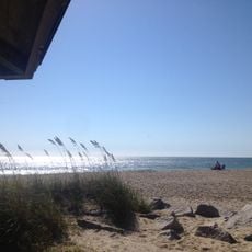
Fort Fisher
226 m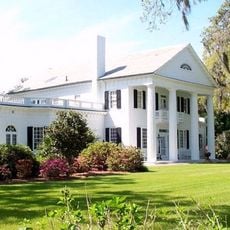
Orton Plantation
10.4 km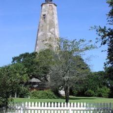
Bald Head Light
13.2 km
Brunswick Town
8.2 km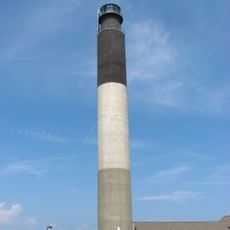
Oak Island Light
13.8 km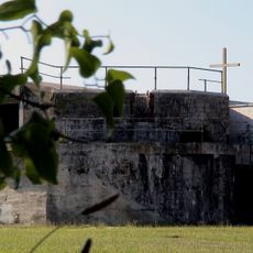
North Carolina Baptist Assembly
12.8 km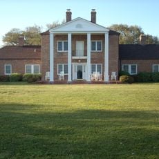
Fort Johnston
10.8 km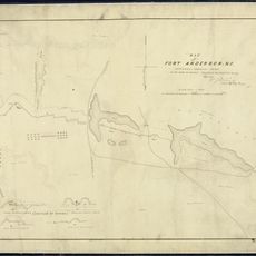
Fort Anderson
8.2 km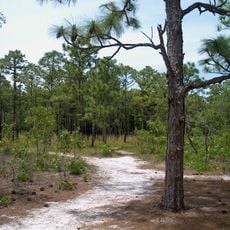
Carolina Beach State Park
8.9 km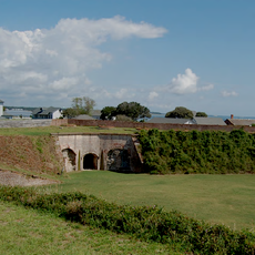
Fort Caswell Historic District
13.4 km
Fort Fisher State Recreation Area
2.1 km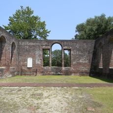
St. Philip's Church, Brunswick Town
8.4 km
Cape Fear Light
13.8 km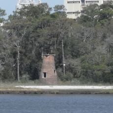
Price Creek Light
7.6 km
Cameron Art Museum
23.8 km
Sunset Park Historic District
26.2 km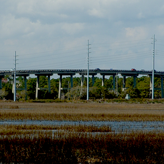
G. V. Barbee Bridge
15.2 km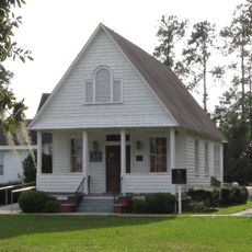
New Hope Presbyterian Church
26.2 km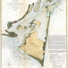
Corncake Inlet, North Carolina
6.2 km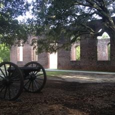
Brunswick Town Historic District
8.3 km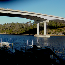
Swain's Cut Bridge
22.8 km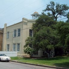
Brunswick County Courthouse
10.8 km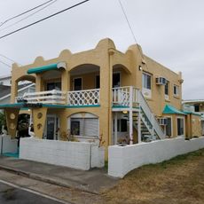
Joy Lee Apartment Building and Annex
7.9 km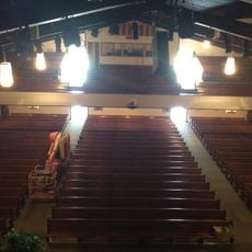
Hatch Auditorium
12.6 km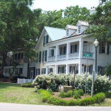
Southport Historic District
11 km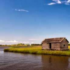
Bald Head Creek Boathouse
13.6 km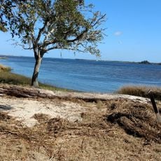
Brunswick Town/Fort Anderson State Historic Site
8.3 km
Old Brunswick County Jail
10.6 kmReviews
Visited this place? Tap the stars to rate it and share your experience / photos with the community! Try now! You can cancel it anytime.
Discover hidden gems everywhere you go!
From secret cafés to breathtaking viewpoints, skip the crowded tourist spots and find places that match your style. Our app makes it easy with voice search, smart filtering, route optimization, and insider tips from travelers worldwide. Download now for the complete mobile experience.

A unique approach to discovering new places❞
— Le Figaro
All the places worth exploring❞
— France Info
A tailor-made excursion in just a few clicks❞
— 20 Minutes