
Lost Trail Station
Location: Hinsdale County
Address: Creede, CO 81130, USA 81130 Creede
GPS coordinates: 37.76889,-107.36250
Latest update: September 20, 2025 09:23
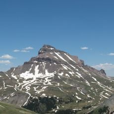
Uncompahgre Peak
34.8 km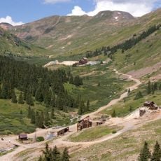
Animas Forks
25.5 km
Weminuche Wilderness
19.2 km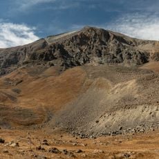
Handies Peak
20.3 km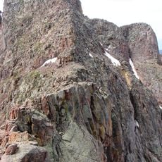
Mount Eolus
28.2 km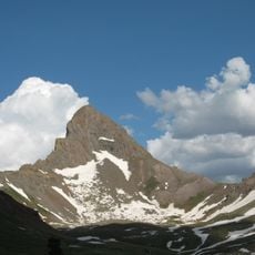
Wetterhorn Peak
35 km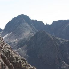
Windom Peak
26 km
Slumgullion Earthflow
26.5 km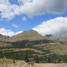
Molas Pass
29.7 km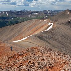
Sunshine Peak
18 km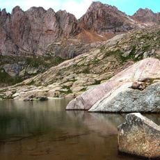
Sunlight Peak
25.9 km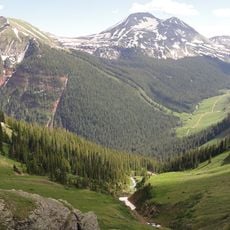
Rio Grande Pyramid
10.3 km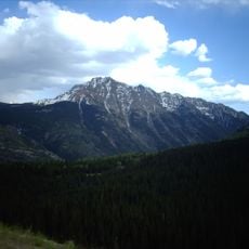
Twilight Peak
34.2 km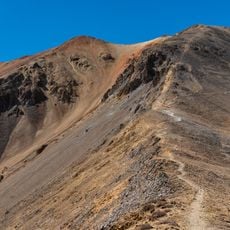
Redcloud Peak
19.8 km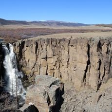
North Clear Creek Falls
20.7 km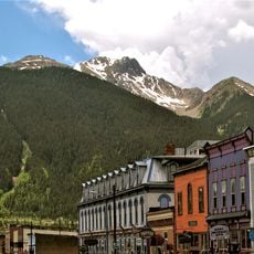
Sultan Mountain
30.1 km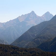
Pigeon Peak
29.2 km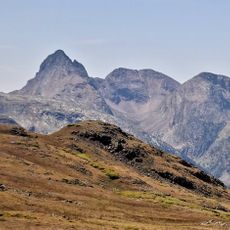
Arrow Peak
23.4 km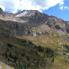
Jupiter Mountain
26.7 km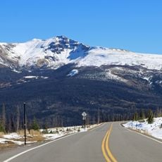
Baldy Cinco
30.8 km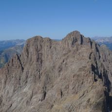
Turret Peak
29.1 km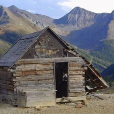
Jones Mountain
20.2 km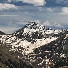
Niagara Peak
20.1 km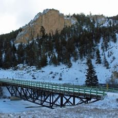
Sevenmile Bridge
33.7 km
Silverton Historic District
26.9 km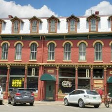
San Juan County Historical Society Mining Heritage Center
26.8 km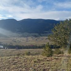
Kid Gulch
31.9 km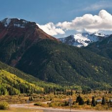
Million Dollar Highway
33.9 kmReviews
Visited this place? Tap the stars to rate it and share your experience / photos with the community! Try now! You can cancel it anytime.
Discover hidden gems everywhere you go!
From secret cafés to breathtaking viewpoints, skip the crowded tourist spots and find places that match your style. Our app makes it easy with voice search, smart filtering, route optimization, and insider tips from travelers worldwide. Download now for the complete mobile experience.

A unique approach to discovering new places❞
— Le Figaro
All the places worth exploring❞
— France Info
A tailor-made excursion in just a few clicks❞
— 20 Minutes