
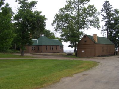
Kabetogama Ranger Station District
Kabetogama Ranger Station District, historic district in Minnesota, United States
Location: St. Louis County
Architects: Civilian Conservation Corps
Architectural style: National Park Service rustic
GPS coordinates: 48.44528,-93.02889
Latest update: March 7, 2025 04:00
Voyageurs National Park
12.3 km
Kettle Falls Hotel
29.4 km
Grand Mound
50.8 km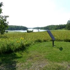
Kay-Nah-Chi-Wah-Nung
80.2 km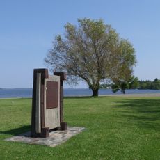
Fort Saint Pierre
31.1 km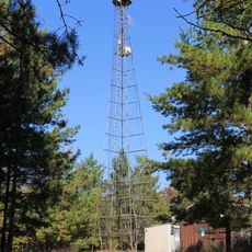
Kabetogama State Forest
1.2 km
Franz Jevne State Park
80.3 km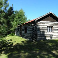
Kettle Falls Historic District
29.4 km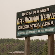
Iron Range Off-Highway Vehicle State Recreation Area
74.2 km
Jun Fujita Cabin
16.5 km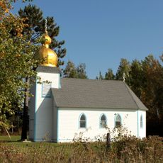
Sts. Peter and Paul Russian Orthodox Church
61 km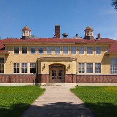
Alango School
76.8 km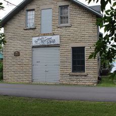
Finstad's Auto Marine Shop
30.2 km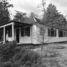
William Ingersoll Estate
42.3 km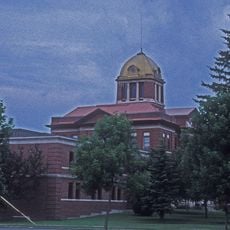
Koochiching County Courthouse
33.1 km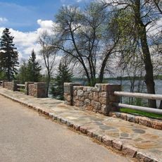
Orr Roadside Parking Area
45.4 km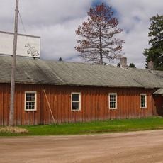
Civilian Conservation Corps Camp S-52
40.7 km
Gold Mine Sites
20.3 km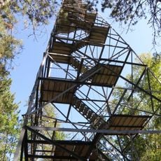
Sturgeon River State Forest
70.2 km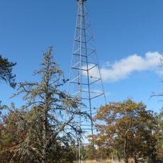
Ash River Lookout Tower
18.4 km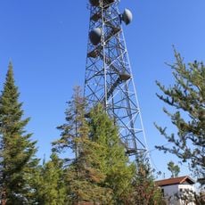
Kabetogama Lookout Tower
10.2 km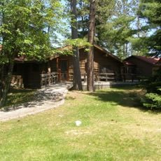
Ash River Visitor Center
13.2 km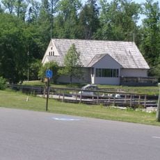
Kabetogama Lake Visitor Center
86 m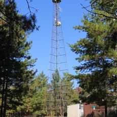
Elephant Lake Lookout Tower
36 km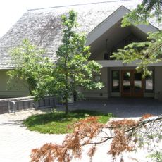
Rainy Lake Visitor Center
18.3 km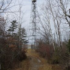
Black Bay Lookout Tower
20.2 km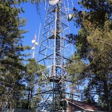
Gheen Hill Lookout Tower
54 km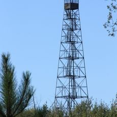
Vermilion Dam Lookout Tower
66.9 kmReviews
Visited this place? Tap the stars to rate it and share your experience / photos with the community! Try now! You can cancel it anytime.
Discover hidden gems everywhere you go!
From secret cafés to breathtaking viewpoints, skip the crowded tourist spots and find places that match your style. Our app makes it easy with voice search, smart filtering, route optimization, and insider tips from travelers worldwide. Download now for the complete mobile experience.

A unique approach to discovering new places❞
— Le Figaro
All the places worth exploring❞
— France Info
A tailor-made excursion in just a few clicks❞
— 20 Minutes