
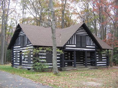
S. B. Elliott State Park Day Use District
S. B. Elliott State Park Day Use District, historic district in Pine Township, Pennsylvania
Location: Clearfield County
Architectural style: National Park Service rustic
GPS coordinates: 41.11285,-78.52565
Latest update: March 12, 2025 04:49

Quehanna Wild Area
28.8 km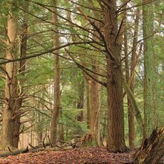
Parker Dam State Park
10 km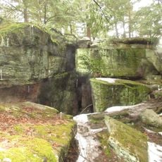
Bilger's Rocks
14.5 km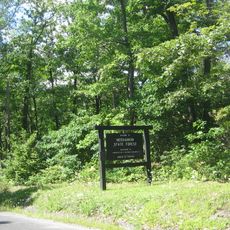
Moshannon State Forest
11.4 km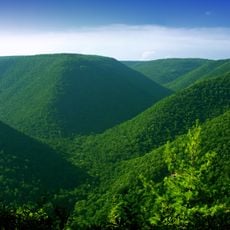
Elk State Forest
31.4 km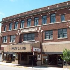
Rowland Theater
35 km
Marion Brooks Natural Area
27 km
Wykoff Run Natural Area
30.7 km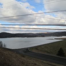
Curwensville Lake
17.7 km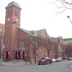
Clearfield County Courthouse
12.5 km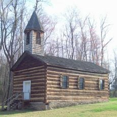
St. Severin's Old Log Church
36 km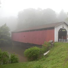
McGees Mills Covered Bridge
32.8 km
Philipsburg Historic District
35.1 km
St. Marys Historic District
35.3 km
Hardman Philips House
35.6 km
Old Town Historic District
12.4 km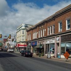
DuBois Historic District
19.9 km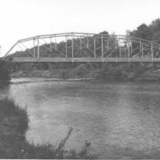
Hogback Bridge
15.8 km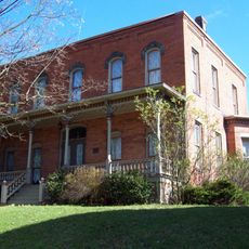
John E. Weidenboerner House
35.3 km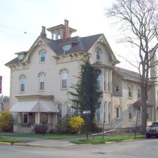
Thomas Murray House
12.7 km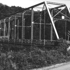
Bridge in Greenwood Township
24.7 km
S. B. Elliott State Park
785 m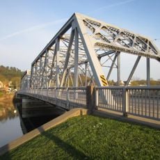
Market Street Bridge
12.3 km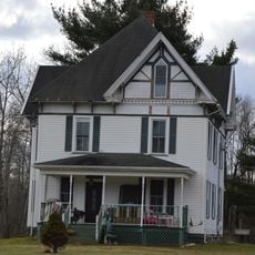
Redferd Segers House
25.2 km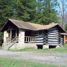
Parker Dam State Park Family Cabin District
9.5 km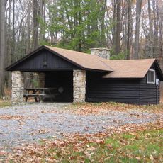
S. B. Elliott State Park Family Cabin District
194 m
Laurel Mountain Winery
25.2 km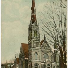
Clearfield Presbyterian Church
12.3 kmReviews
Visited this place? Tap the stars to rate it and share your experience / photos with the community! Try now! You can cancel it anytime.
Discover hidden gems everywhere you go!
From secret cafés to breathtaking viewpoints, skip the crowded tourist spots and find places that match your style. Our app makes it easy with voice search, smart filtering, route optimization, and insider tips from travelers worldwide. Download now for the complete mobile experience.

A unique approach to discovering new places❞
— Le Figaro
All the places worth exploring❞
— France Info
A tailor-made excursion in just a few clicks❞
— 20 Minutes