Clearfield County

Log in to your account

AroundUs is a community-driven map of interesting places, built by curious explorers like you. It grows with every review, story, and photo you share.
Connect to save your favorite spots, contribute locations, and create personalized routes.
By continuing, you accept our Terms and Conditions and our Privacy Policy
Add to collection
Map
Suggest a change
Share

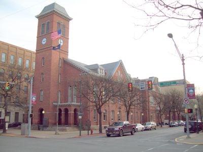
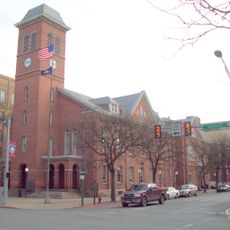
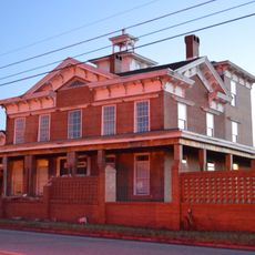
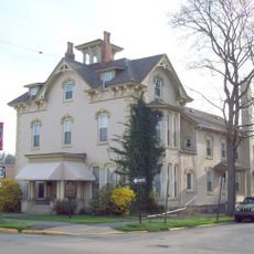
Clearfield County, County administration center in Clearfield, Pennsylvania, US

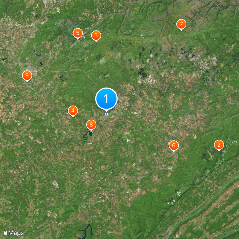
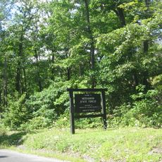
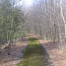
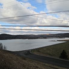
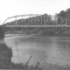
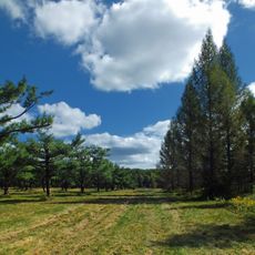
Clearfield County is an administrative area in Pennsylvania covering roughly 1,154 square miles and crossed by the West Branch Susquehanna River. The landscape is marked by forests, rolling hills, and several small streams that wind through the terrain.

The county was established in 1804 by separating from Huntingdon and Lycoming territories. Its name comes from the cleared fields near Clearfield Creek, which gave the area its identity from the start.

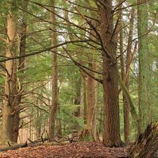
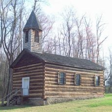
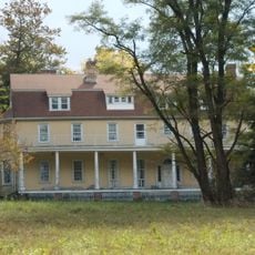
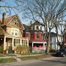
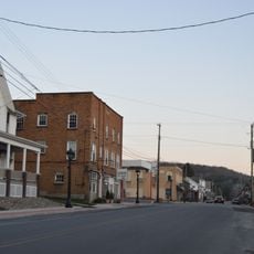
The area reflects the working traditions of its residents, whose lives have long been shaped by forestry and mining heritage. You can see this in how people spend their time and which places hold meaning in their daily lives.

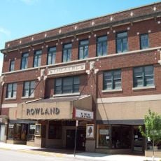
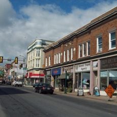
Main county services are centered in Clearfield, the county seat, where administrative offices and public facilities are located. A car is helpful for exploring the area, as public transportation options are limited.

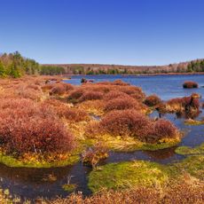
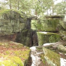
Bilger's Rocks is a notable rock formation within the county that displays interesting geological patterns and structures. This natural site draws hikers and nature enthusiasts who want to explore the region's geological story.

Location: Pennsylvania

Inception: January 29, 1822

Capital city: Clearfield

Shares border with: Elk County, Cameron County, Clinton County, Centre County, Blair County, Cambria County, Indiana County, Jefferson County

Website: http://clearfieldco.org

GPS coordinates: 41.00000,-78.47000

Latest update: December 6, 2025 22:08

Photos
Around this place
Show the full map
Black Moshannon State Park
United States of America

Black Moshannon State Park

36.6 km
Parker Dam State Park
United States of America

Parker Dam State Park

22.7 km
Bilger's Rocks
United States of America

Bilger's Rocks

10.4 km
Moshannon State Forest
United States of America

Moshannon State Forest

24.8 km
Rowland Theater
United States of America

Rowland Theater

23.7 km
Wykoff Run Natural Area
United States of America

Wykoff Run Natural Area

34.7 km
Curwensville Lake
United States of America

Curwensville Lake

7 km
Clearfield County Courthouse
United States of America

Clearfield County Courthouse

3.7 km
St. Severin's Old Log Church
United States of America

St. Severin's Old Log Church

30.4 km
Irvin-Patchin House
United States of America

Irvin-Patchin House

33.7 km
McGees Mills Covered Bridge
United States of America

McGees Mills Covered Bridge

28.2 km
Philipsburg Historic District
United States of America

Philipsburg Historic District

24 km
Hardman Philips House
United States of America

Hardman Philips House

24.3 km
Old Town Historic District
United States of America

Old Town Historic District

3.5 km
DuBois Historic District
United States of America

DuBois Historic District

28 km
Hogback Bridge
United States of America

Hogback Bridge

3.4 km
Thomas Murray House
United States of America

Thomas Murray House

3.5 km
Coalport Historic District
United States of America

Coalport Historic District

28.6 km
Bridge in Greenwood Township
United States of America

Bridge in Greenwood Township

17.9 km
S. B. Elliott State Park
United States of America

S. B. Elliott State Park

13.2 km
Bridge in Westover Borough
United States of America

Bridge in Westover Borough

32.2 km
Market Street Bridge
United States of America

Market Street Bridge

3.4 km
George Wilson Homestead
United States of America

George Wilson Homestead

43.4 km
Redferd Segers House
United States of America

Redferd Segers House

37.1 km
DuBois Lanes
United States of America

DuBois Lanes

26.6 km
Parker Dam State Park Family Cabin District
United States of America

Parker Dam State Park Family Cabin District

22.3 km
S. B. Elliott State Park Family Cabin District
United States of America

S. B. Elliott State Park Family Cabin District

13.3 km
Black Moshannon State Park Day Use District
United States of America

Black Moshannon State Park Day Use District

35.8 km
Show the full map
Reviews

Visited this place? Tap the stars to rate it and share your experience / photos with the community! Try now! You can cancel it anytime.

« Clearfield County - County administration center in Clearfield, Pennsylvania, US » is provided by Around Us (aroundus.com). Images and texts are derived from Wikimedia project under a Creative Commons license. You are allowed to copy, distribute, and modify copies of this page, under the conditions set by the license, as long as this note is clearly visible.

Discover hidden gems everywhere you go!

From secret cafés to breathtaking viewpoints, skip the crowded tourist spots and find places that match your style. Our app makes it easy with voice search, smart filtering, route optimization, and insider tips from travelers worldwide. Download now for the complete mobile experience.

Around Us App Screenshot

A unique approach to discovering new places

Le Figaro

All the places worth exploring

France Info

A tailor-made excursion in just a few clicks

20 Minutes