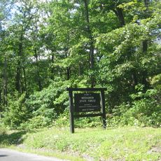
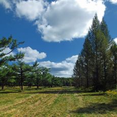
State Game Lands Number 34, Wildlife conservation area in Clearfield County, Pennsylvania.
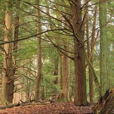
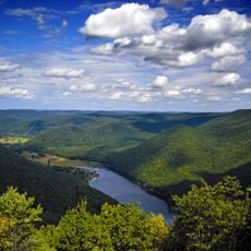
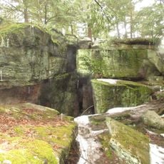
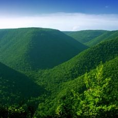
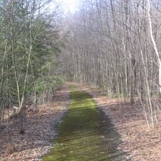
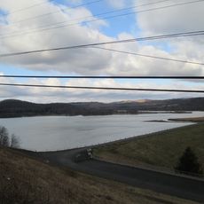
State Game Lands Number 34 is a large woodland conservation area in the Clearfield County region, offering varied terrain with hills, streams, and different plant types. The grounds are accessible from several parking areas and feature a network of trails that guide visitors through different habitats.
The area was designated as a protected site by the Pennsylvania Game Commission in the early 1900s to safeguard native wildlife. This action marked the beginning of organized efforts to preserve natural resources for future generations.
The site holds importance for local hunting and wildlife observation traditions, where visitors explore the woodland landscape on marked paths and encounter animals in their natural habitats. Many people use the grounds to connect with nature and practice outdoor activities like hiking and bird watching.
The grounds are open to the public during daylight hours, with multiple parking areas at different entry points where visitors can start exploring the marked trails. Certain areas are reserved for hunting activities depending on the season, so visitors should check current conditions before arriving.
The grounds span a wide range of elevations that create different forest types and small-scale climates, while several streams flow through the area. This natural diversity allows visitors to experience sharply different landscapes within a few hours of walking.
The community of curious travelers
AroundUs brings together thousands of curated places, local tips, and hidden gems, enriched daily by 60,000 contributors worldwide.