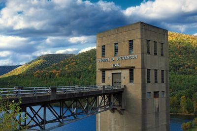
Sinnemahoning State Park, State park in Cameron and Potter Counties, Pennsylvania, United States.
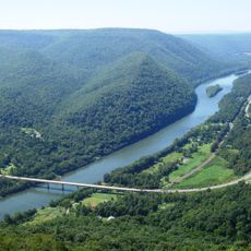
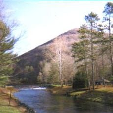
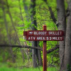
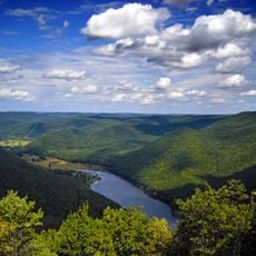
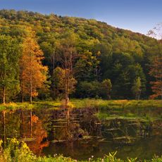
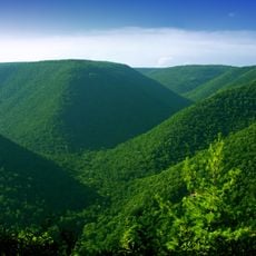
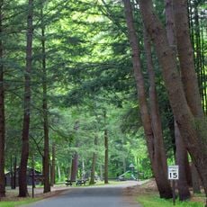
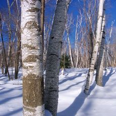
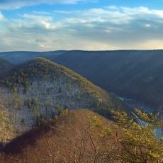
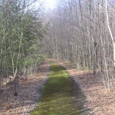
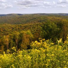
Sinnemahoning State Park is a protected area in north-central Pennsylvania, set along a creek winding through forested hills and open river valleys. The park has trails, a campground, and a reservoir that draw visitors across all four seasons.
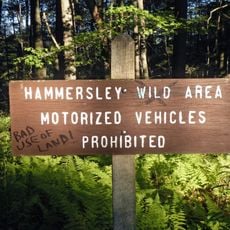
The park was established in 1962 as part of a broader effort to protect wild lands and wildlife habitats across Pennsylvania. Before that, the area had been shaped by logging and farming, which gradually gave way to recovering forest.
The park's education programs focus on helping visitors understand the animals and plants that live here through guided walks and boat trips. These activities show how the local wildlife adapts to the landscape.
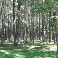
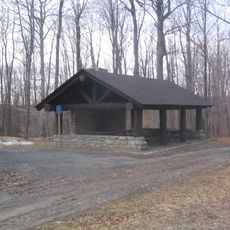
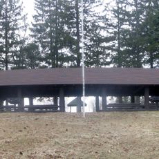
The park is easiest to enjoy from late spring through early fall, when trails are dry and the campground with fire rings and showers is fully open. Arriving early in the day helps secure a good spot along the creek or near the reservoir.
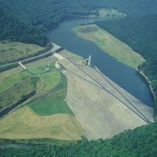
The reservoir inside the park is one of the few spots in Pennsylvania where bald eagles nest and raise their young each year. Visitors who arrive early in the morning and stay quiet along the water have a good chance of watching them fly overhead.
The community of curious travelers
AroundUs brings together thousands of curated places, local tips, and hidden gems, enriched daily by 60,000 contributors worldwide.