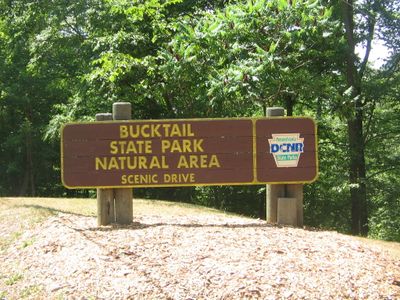
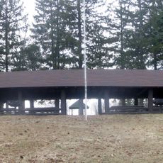
Bucktail State Park Natural Area, Natural park in Cameron and Clinton Counties, United States.
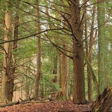
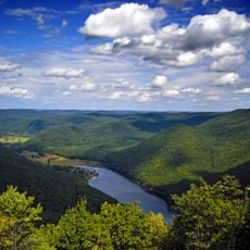
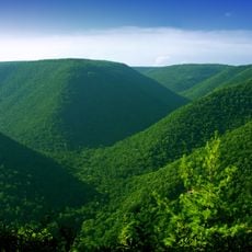
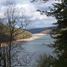
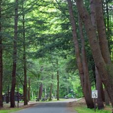
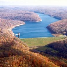
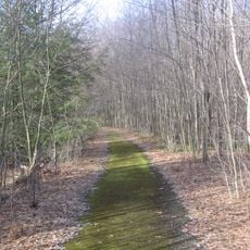
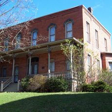
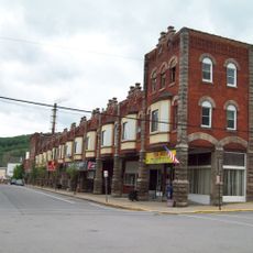
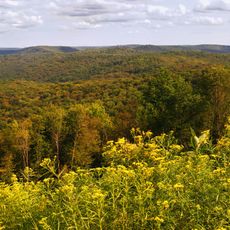
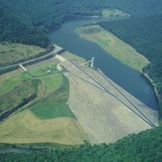
Bucktail State Park Natural Area is a protected forest in Pennsylvania that runs along Route 120 between the towns of Emporium and Lock Haven, cutting through river valleys and forested ridges. Parts of the land within its boundaries are privately owned, so public and private areas sit side by side throughout the corridor.
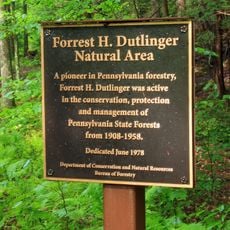
The Pennsylvania Legislature set this area aside as a state park in 1933, protecting a path that Native Americans had used for centuries to travel between the Susquehanna and Allegheny river systems. That ancient route shaped how both indigenous peoples and later settlers moved through this part of the mountains.
The name comes from the Bucktails, a Civil War regiment that left the town of Driftwood in 1861 to fight for the Union. Driving or walking through the valleys, visitors pass through the same landscape those soldiers once called home.
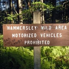
Because parts of the land are privately owned, visitors should ask for permission before entering any property that is not clearly open to the public. Checking which sections are publicly accessible before setting out helps avoid any confusion along the way.
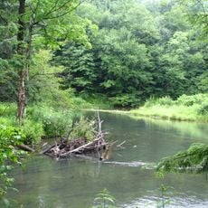
The river valleys running through the area support elk, black bears, and osprey living in close proximity, which is rare for Pennsylvania. Early morning visits, when animals are most active near the water, offer the best chance of spotting them.
The community of curious travelers
AroundUs brings together thousands of curated places, local tips, and hidden gems, enriched daily by 60,000 contributors worldwide.