
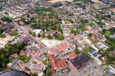
Leopoldshöhe, human settlement in Germany
Location: Leopoldshöhe
Elevation above the sea: 130 m
GPS coordinates: 52.01196,8.69947
Latest update: March 3, 2025 01:41
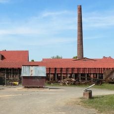
Brickyard Lage
5.5 km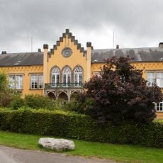
Schloss Iggenhausen
3.5 km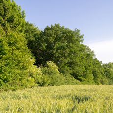
Windwehetal
2.5 km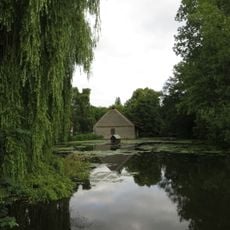
Hof Meyer zu Bentrup
5.1 km
MuMa-Forum
5.8 km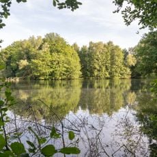
Heipker See
3 km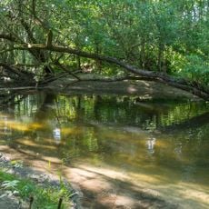
Windweheniederung
3.5 km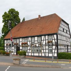
Bahnhofstraße 1
4.7 km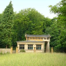
Mausoleum Tenge
5.1 km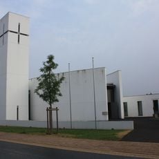
St. Johannis Baptist
363 m
Evangelisch-reformierte Kirche Leopoldshöhe
81 m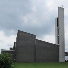
Auferstehung Christi (Greste)
3.3 km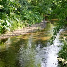
Holzhauser Bruch
3.3 km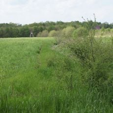
Eichen-Hainbuchenwald am Hövingsfeld
4.4 km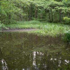
Bexter Wald
4.4 km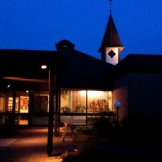
Johanneskirche
4.9 km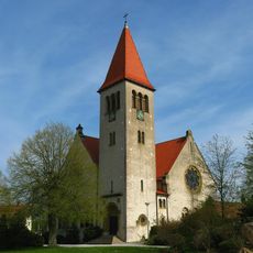
Kirche Helpup (Oerlinghausen)
4.8 km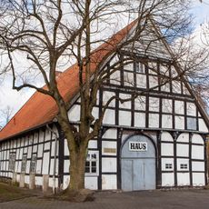
Max-Planck-Straße 76
4.7 km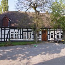
Dahlhausen
1.9 km
Gut Hovedissen
1.5 km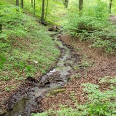
Grüte
5.6 km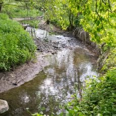
Grutt- und Sunderbach
4.5 km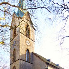
Protestant Church
5.4 km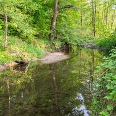
Werreniederung und Haferbach
3.8 km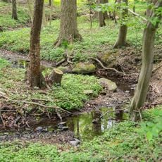
LSG-Sunder- und Bruchbachtal
5.5 km
LSG Siek- und Haferbachtal
3.9 km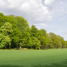
LSG-Bielefelder Osning mit Teutoburger Wald und OsningVorbergen sowie Ravensberger Huegelland
1.7 km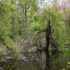
Ravensberger Hügelland
5.2 kmReviews
Visited this place? Tap the stars to rate it and share your experience / photos with the community! Try now! You can cancel it anytime.
Discover hidden gems everywhere you go!
From secret cafés to breathtaking viewpoints, skip the crowded tourist spots and find places that match your style. Our app makes it easy with voice search, smart filtering, route optimization, and insider tips from travelers worldwide. Download now for the complete mobile experience.

A unique approach to discovering new places❞
— Le Figaro
All the places worth exploring❞
— France Info
A tailor-made excursion in just a few clicks❞
— 20 Minutes