
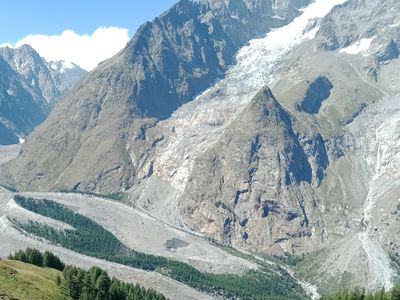
Aiguille du Châtelet, sommet en Italie
Location: Courmayeur
Elevation above the sea: 2,525 m
GPS coordinates: 45.79491,6.88498
Latest update: March 12, 2025 17:57
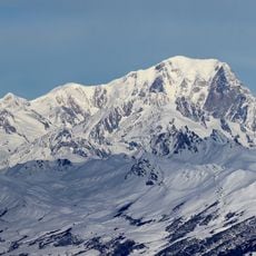
Mont Blanc
4.5 km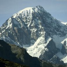
Mont Blanc de Courmayeur
3.9 km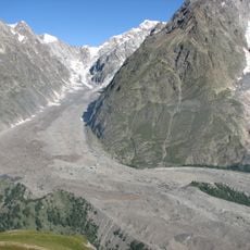
Miage Glacier
3.6 km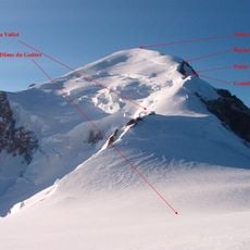
Rocher de la Tournette
4.7 km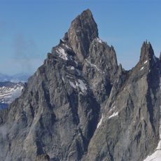
Aiguille Noire de Peuterey
2.3 km
Glacier de la Brenva
3.9 km
Mont Blanc Glacier
3.7 km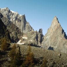
Aiguille Blanche de Peuterey
3.2 km
Picco Luigi Amedeo
3.4 km
Grand Pilier d'Angle
3.7 km
Mont Brouillard
3 km
Glacier de Frêney
1.9 km
Dôme Glacier
4.4 km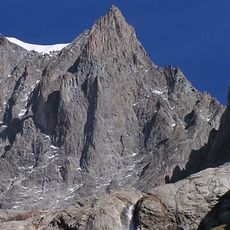
Picco Gugliermina
2.8 km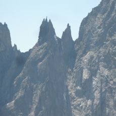
Les Dames Anglaises
2.5 km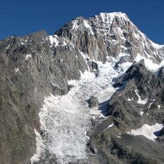
Glacier du Brouillard
2.3 km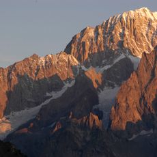
Punta Innominata
2.5 km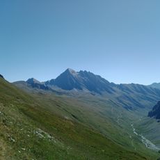
Mont Berrio Blanc
4.8 km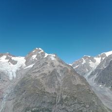
Petit Mont Blanc
4 km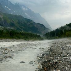
Doire de Vény
2.5 km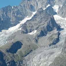
Châtelet Glacier
1.5 km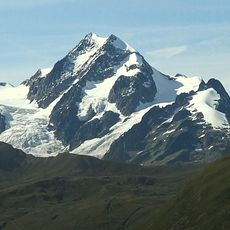
Petit-mont-Blanc Glacier
4.5 km
Aiguille de Tré-la-Tête orientale Glacier
4.9 km
Oriental du Petit-mont-Blanc Glacier
3.9 km
Fauteuil des Allemands
2 km
Mont Fortin
3.8 km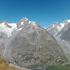
Aiguille de Combal
3.4 km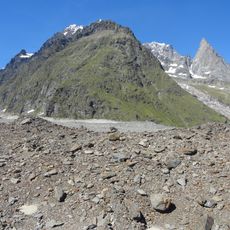
Aiguilles Rouges du Brouillard
1.7 kmReviews
Visited this place? Tap the stars to rate it and share your experience / photos with the community! Try now! You can cancel it anytime.
Discover hidden gems everywhere you go!
From secret cafés to breathtaking viewpoints, skip the crowded tourist spots and find places that match your style. Our app makes it easy with voice search, smart filtering, route optimization, and insider tips from travelers worldwide. Download now for the complete mobile experience.

A unique approach to discovering new places❞
— Le Figaro
All the places worth exploring❞
— France Info
A tailor-made excursion in just a few clicks❞
— 20 Minutes